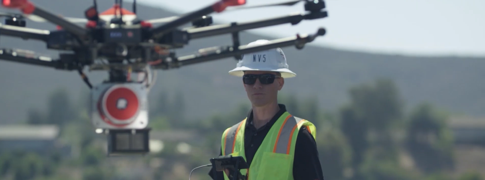
The application of geospatial data to protect the nation’s water and natural resources has introduced a new paradigm in resource management. From the monitoring of forest inventory, health, and fire risks, to water resources measurement and conservation efforts, geospatial technologies such as lidar, topobathmetric lidar, and hyperspectral imaging have vastly expanded the information that resource managers have at their fingertips.