"Activity is heating up along the nation’s coastlines as the Biden Administration seeks to meet its goal of
deploying 30,000 MW of offshore wind energy by 2030. Yet before these projects can become reality, a
range of nearshore and offshore surveys are needed to assess site suitability, environmental impacts,
and ensure regulatory compliance.
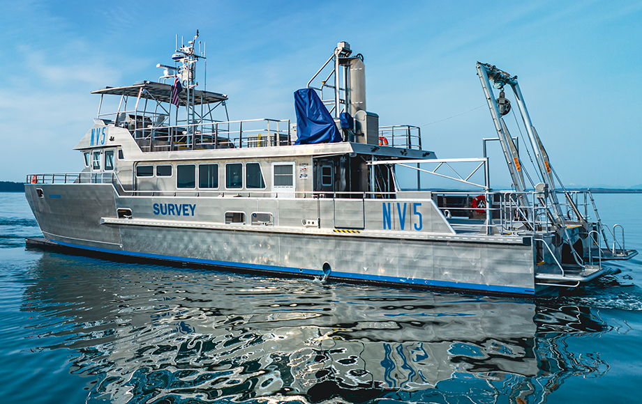
Vessels typically being used today for offshore wind surveys are, in large part, not ideally suited for such
diverse project requirements. They’re often too big and expensive, or repurposed from other industries
without the expertise to take on such sophisticated work. But a new class of vessel is emerging; ones that
are purpose-built to handle the distinctive demands of these projects and deliver accurate data from the
deep sea, where turbines are located, to the cable landings on the shoreline..."