Water

Pioneering All Things Water

Compliance - Resiliency - Sustainability - Innovation

NV5 is an integrated solutions provider at the forefront of water stewardship and resource conservation.


NV5 is an integrated solutions provider at the forefront of water stewardship and resource conservation. We engage with water at every level, from mountain top to treatment to tap, partnering with the nation’s federal, state, tribal, and local water managers to keep water safe and flowing today and into the future.


At NV5, we don’t just deliver water solutions; we reimagine them. Our unique approach is tailored to empower our clients’ critical efforts and ensure compliance, resiliency, sustainability, and innovation. Because at NV5, we understand that every drop matters.

All water is one water

Water Management Solutions

We specialize in creating award-winning water management solutions that are not just resilient and reliable, but also comprehensive. Our solutions cover every aspect of water management, for both domestic and recycled water, providing reliable water sources for future generations. Our expert engineers are skilled in evaluating water requirements, establishing water sources, and designing comprehensive systems ranging from cleanup of groundwater contamination to recycled water conveyance facilities.

Water Data Science

We pioneer the science of water data. Our next-generation technology is not just shaping the future of water stewardship but also inspiring a better understanding of water sources (e.g. the water content of snow pack); how it moves (e.g. linking above ground hydrographic information with below ground hydraulic pipe networks and groundwater flow); and the environmental impacts on its condition (e.g. research and development of best management practices to manage, treat, and reduce emerging contaminants such as PFAS and 6PPD). We are leading the way in elevation-derived hydrography for the United States Geological Survey (USGS) national 3D Hydrography Program (3DHP), helping to locate the nation’s water and deepen our understanding of the complete water lifecycle from formation to fruition.

Manage Your Assets, Facilities and System Security

We provide water asset management, facility and system security, eGIS, cloud data management solutions, and digital twin services. We ensure innovative solutions from project design through facility operations. NV5 is the world's only double platinum partner of Esri and Trimble. We offer custom-built implementation services tailored to your requirements and have over a decade of experience implementing the building blocks of Trimble Unity.

Watersheds & Urban Parks

We transform watershed science and water management from urban parks to vast watersheds. Our scientists integrate technology to understand pollutant fate and transport, providing key information to protect water quality. In California, our sensor technology is installed in storm drain systems and provides real-time data collection through a smart watershed network. This transformative technology helps municipalities understand the potential for capturing and recovering urban runoff to supplement water supply. Permanent sensors in the storm drain network provide real-time flow and volume analysis, revolutionizing the way we manage water.

Water Conservation

We conserve water by collaborating with rural water agencies nationwide that depend on federal and state funding to achieve their objectives. NV5 experts help prepare funding applications and create comprehensive long-term water conservation plans. These plans outline a roadmap for the next several decades, ensuring water availability in rural communities through specific measures, metrics, and funding channels. For a key project initiative in California, NV5 and it's partners collaborated with the California Department of Water Resources (DWR) to examine water resource allocation at the water district level, quantifying water usage down to the residential parcel level.

Coastal & Inland Waterways - Surveying & Sampling

We lead in hydrographic survey and water sampling to extract accurate and actionable data from even the most challenging aquatic environments and complex ecological conditions.
SURVEY
NV5 utilizes a variety of hydrographic survey data inputs (lidar, topobathy lidar, thermal, hyperspectral) in order to build a robust collection of hydrologic models that allows us to understand and communicate complex relationships in the field of hydrology. Our data scientists cover hydrological disciplines that span the entire water usage cycle- from sources, to distribution, to usage.
SAMPLING
NV5 offers comprehensive groundwater sampling and analysis services, leveraging our expertise in hydrogeology, science and engineering to support our client's programs.

NV5 Water Solutions

NV5 leads the industry in hydrography and is the chosen partner of local, state, and federal agencies.

Grounded in Science
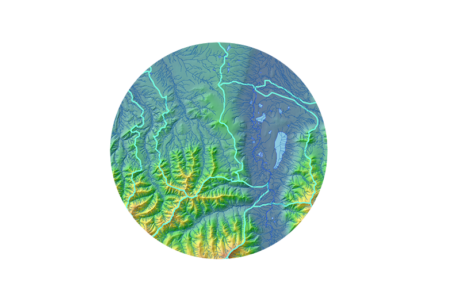
We provide a multi-environment process integrating multiple approaches to derive flowlines and hydrologic networks.

We work with local experts to refine landscape-specific parameters for refinement and attribution of flowlines. We use a combination of flow direction and accumulation routines along with direct detection of landscape channelization through geomorphon analysis.

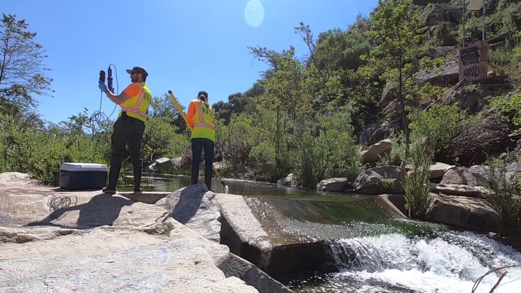
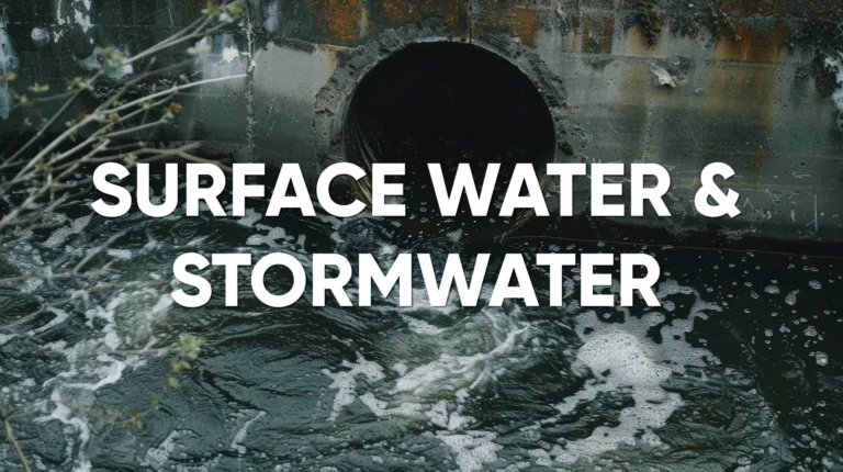
Our team of experts are adept at developing and designing effective and efficient monitoring programs to collect high quality data. Expertise includes BMP effectiveness studies, MS4, lagoon, river, and ocean monitoring programs. We integrate the use of smart networks to provide clients with near real time data and offer advanced remote sensing (Lidar) and machine learning (AI) capabilities.

Green Infrastructure provides nature-based solutions designed to effectively manage stormwater as a resource rather than a nuisance. When GI is integrated with urban design such as complete streets, numerous co-benefits strengthen the three pillars of sustainability: the environment, economy, and social equity.By standardizing how GI is placed in the right-of-way agencies can reclaim valuable space for people to enjoy, reduce irrigation demand and stormwater runoff, and provide for a sustainable and resilient transportation corridor.

NV5 is a trusted provider of regulatory compliance and reporting support to construction, industrial and municipal stormwater clients. Our team includes leading experts in developing NPDES and TMDL compliance strategies that support client operations and promote clean water.

NV5 scientists conduct pioneering studies that advance the understanding of fate and transport of pollutants and emerging contaminants. Using the latest science we assist our clients in understanding the sources of pollutants and develop cost effective solutions for source control and/or treatment. Examples include using molecular markers to identify human and non human sources of bacteria in order to assess the risk to human health. We are conducting pioneering studies that advance the understanding of emerging contaminants such as 6PPD-quinone.

NV5’s deep bench of leading engineers, scientists, planners, modelers and geospatial experts offer our clients comprehensive watershed planning solutions.

NV5 technical experts and grant writers have assisted clients in obtaining project funding for project planning, development and implementation. We have deep relationships with funding and resource agencies and provide critical engagement and advice to bring projects to completion.

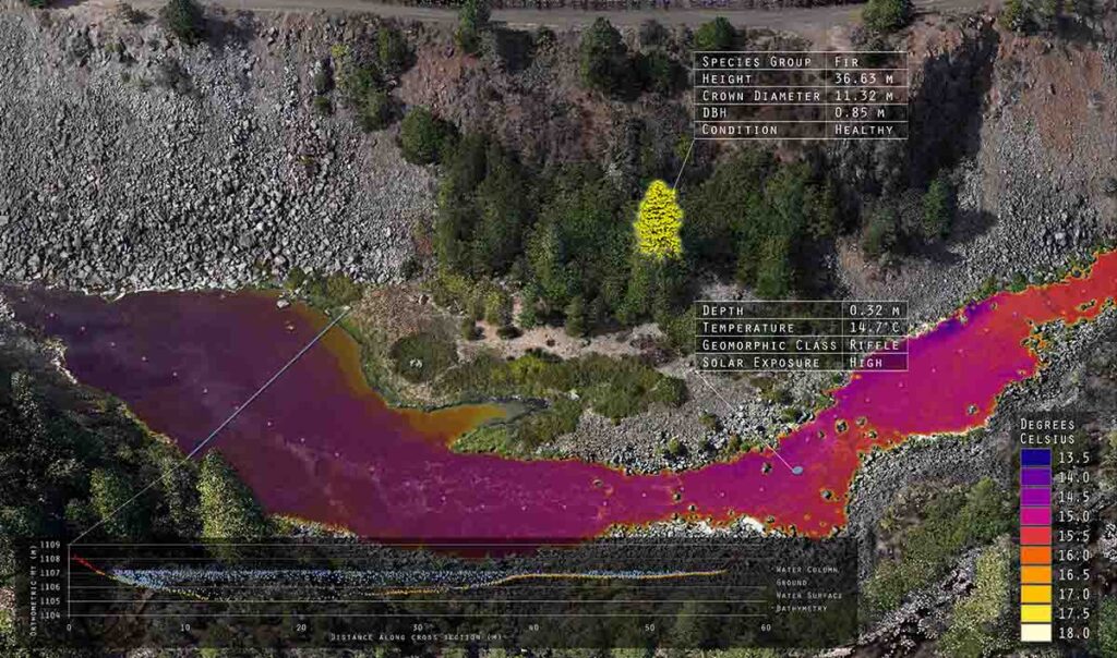
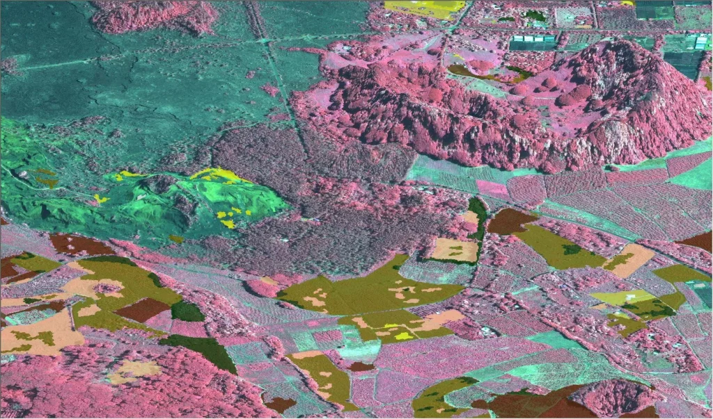
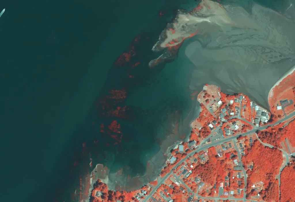
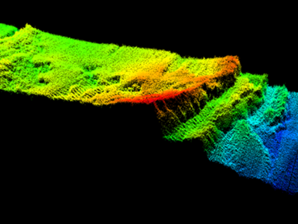
Topobathymetric lidar provides the ability to seamlessly map stream channel morphology, floodplain topography, habitat connectivity, and riparian vegetation with unprecedented detail. This technology has advanced our ability to map dynamic floodplains to guide inundation modeling comprehensively, offshore wind, substrate classification, beach renourishment, dam and canal infrastructure evaluations, and river and watershed restoration efforts.

Finally, we can now provide essential baseline data to support engineering and planning for dam removal projects, pipeline and telecom infrastructure, and road and rail crossings.

Only a handful of firms in North America share topobathymetric capabilities at any level, much less have our mastery of the science. NV5 leads our peers in acquisition capabilities with leading-edge sensors and world-class experts to manage the challenging data processing and develop informed answers that our clients demand.

Topobathymetric lidar has many important applications. These include:

  • Shoreline and coastal intelligence
  • Habitat restoration
  • Floodplain modeling
  • Volumetric analysis
  • Infrastructure planning and engineering
  • Coastal zone management

This specialized capability allows you to significantly increase your knowledge of the nearshore environment for improved marine resource mapping, benthic habitat mapping, shoreline delineation, nautical charting, and marine debris mapping.

nv5geospatial

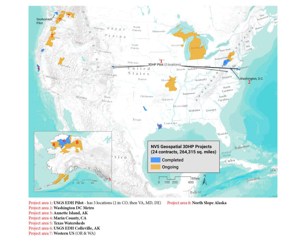
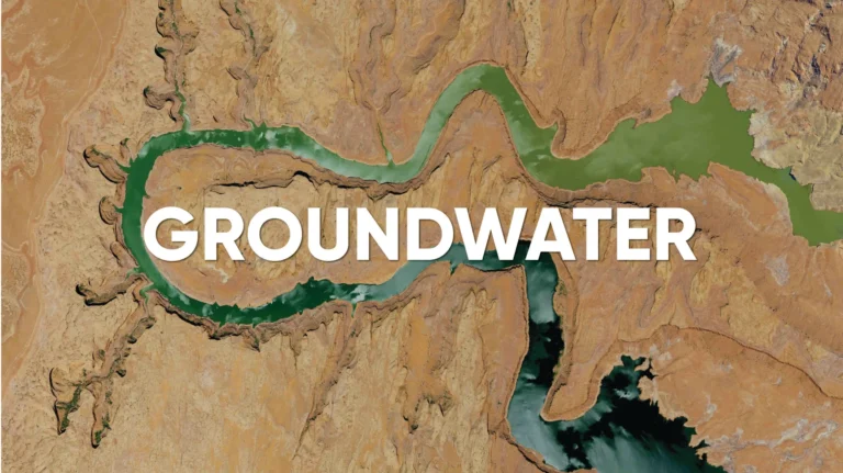
Mapping of river, streams and water bodies (hydrography data) is critical to managing water resources. Nationwide lidar collected as part of USGS’s 3D elevation program (3DEP) is being used to create a more accurate and current hydrography dataset. Under its 3D Hydrography Program (3DHP) USGS has developed standards for hydrography that will be implemented nationwide to ultimately replace the current National Hydrography Dataset (NHD) and the Watershed Boundary Database (WBD).

NV5 has worked closely with USGS to streamline the creation of 3DHP datasets from both lidar and IfSAR (in Alaska) data. Our datasets meet all 3DHP quality requirements and standards. This results from our technically advanced workflows and rigorous quality control steps that analyze 31 elements of the dataset to ensure acceptance to 3DHP standards. We also understand that each client and landscape is different. So, building on the framework of the 3DHP we can add elements that answer key questions that support state and local decision making.

Working with individual clients NV5 has developed 3DHP data across 12 states and Washington DC, with 24 contracts covering 264,315 square miles.

Link To Interactive Project Location Map

C-CAP (Coastal Change Analysis Program) Work:

Monitor and manage aquatic vegetation and eutrophication levels using NV5’s imagery classification analysis. From topobathymetric lidar data and innovative processing tools, we can classify benthic and submerged environments (seagrass, kelp beds, algae, coral reefs) to identify critical habitat for marine species and facilitate effective resource management. Our radiometric calibration of lidar intensities is a significant contributor to mapping the underwater environment and sea floor.

Coastal regions face an array of hazards to the built environment, ranging from storms and flooding to sea level rise, extreme heat, seismic activity, and human-induced tragedies. With climate change exacerbating the frequency and severity of these hazards, the need for resilient infrastructure has never been more pressing.

At NV5, we specialize in resilient design, crafting infrastructure that withstands the test of time while addressing these challenges head-on. Our long-term solutions not only bolster critical infrastructure but also foster community development, enrich neighborhoods, and attract local investment.

With a proven track record of safeguarding vital infrastructure in coastal cities like New York and Philadelphia, NV5 has led initiatives such as the extensive reconstruction of the Rockaways Boardwalk post-Superstorm Sandy. Presently, our endeavors include protecting vulnerable areas like the low-lying Red Hook section of Brooklyn and implementing the East Side Coastal Resiliency project, which aims to shield Manhattan’s east side from the impacts of climate change.

Utilizing state-of-the-art 3D design software, visualization tools, and geospatial data, NV5 delivers unparalleled accuracy and expertise in resilient infrastructure development. From mitigating flooding to combatting damage from salt and wind, our innovative approach ensures robust solutions that safeguard communities and their assets for generations to come. Join us in shaping a more resilient future, where coastal regions thrive in the face of adversity.
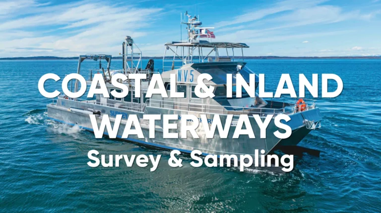
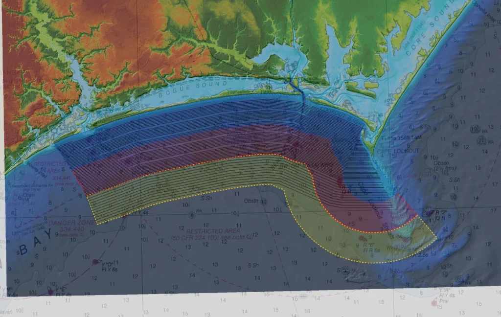
COASTAL SURVEYING

Customized Approach:

Our High Resolution Geophysical (HRG) approach includes the use of multibeam echosounder sonar, side-scan sonar, magnetometer, parametric sub-bottom profilers for shallow depth penetration, and single channel ultra-high resolution seismic solutions for deeper investigations.

Custom Vessels: 

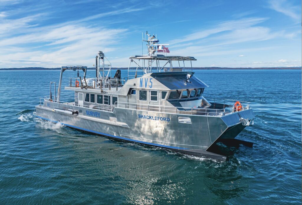
NV5  owns and operates survey vessels to support multi-sensor HRG surveys within coastal, nearshore, and deep offshore waters. Capable of 24-hour survey schedules, we maximize data acquisition while minimizing vessel and crew expense.

VISIT OUR FLEET

Planning:

NV5 offers unique end-to-end services for sediment resource assessment projects – we understand State and federal coverage requirements and can assist with developing and articulating sensor types and parameters, overall survey boundaries, line spacing, and other planning and logistical components of a successful HRG survey.

Permitting & Reporting:

We have institutional knowledge and expertise in preparing and securing BOEM permits for investigations in federal waters and a deep understanding of the requisite reporting requirements as well. With numerous cultural resources projects in our portfolio, we can also manage Marine Archeological Resource Assessments and incorporate these findings into final deliverables.

ADVANCED SAND SEARCH TOOL (ASST)

Developed by NV5, the ASST uses a series of highly-customized decision support tools applied to a GIS database that incorporates rigorously designed schema inputs enabling practitioners to identify and differentiate potential sand reserves.  

VIEW OUR CASE STUDIES ON OUR SAND SEARCH PAGE

Coastal Land Cover & Change Analysis:

With the aid of recurring surveys and temporal comparisons, our trend analyses quantify, model, and visualize important changes taking place along coastal environments. Detecting and quantifying these patterns empowers planners and resource managers to accurately evaluate, respond, monitor, predict or mitigate change, improving knowledge and enhancing preparedness.

Understanding wave run-up is essential for several reasons:

  • Flood Risk Management: Understanding wave run-up helps in designing coastal defenses to protect against flooding.
  • Coastal Erosion: It aids in predicting and mitigating coastal erosion.
  • Infrastructure Safety: Ensures the safety and longevity of coastal infrastructure like seawalls and dikes.

Wave run-up analysis typically involves:

  • Field Measurements: Observing and recording wave heights and run-up levels during storms.
  • Laboratory Experiments: Using scale models to simulate wave interactions with coastal structures.
  • Numerical Modeling: Employing computer models to predict wave behavior under various conditions.

NV5 has experience in applying wave run up to engineering projects, including but not limited to:

  • Designing Coastal Defenses: Determining the appropriate height and slope of seawalls, revetments, and dikes.
  • Urban Planning: Informing the placement and construction of buildings and infrastructure in coastal areas.
  • Risk Assessment: Evaluating potential flood risks and implementing mitigation strategies.

Rising sea levels require implementing measures to mitigate the impacts on coastal communities and infrastructure. NV5 deploys a variety of engineering solutions to help protect against sea level rise.

  1. Hard Engineering Solutions:
    • Constructing sea walls and dykes
    • Breakwaters and Surge Barriers
  2. Soft Engineering Solutions:
    • Beach Reinforcement and expansion
    • Dune Restoration
  3. Nature-Based Solutions:
    • Mangrove Planting
    • Wetland Restoration

Applications in Engineering

  • Urban Planning
  • Infrastructure Design

By integrating these strategies, NV5 can help coastal communities become more resilient to the impacts of sea level rise, ensuring the safety and sustainability of both human and natural environments.

NV5 offers comprehensive groundwater sampling and analysis services, leveraging our expertise in hydrogeology, science and engineering to support our client’s programs.

NV5 groundwater experts support our clients in groundwater management, from finding new water supplies to resolving water quality concerns to assessing reliable water quantities. Hydrogeologic services include: Hydrogeologic baseline assessments, aquifer evaluations, groundwater management and sustainability plans, basinwide studies, watershed management plans, groundwater/surface water interaction studies, and collaboration with our in-house geotechnical services for design/build of wetland/riparian restorations. Mine closures, construction dewatering, water right acquisitions, water right valuations, development agreements for water rights holders, and negotiations with state and federal regulatory agencies.

Our groundwater experts support our clients in groundwater management, from finding new water supplies to resolving water quality concerns to assessing reliable water quantities. We provide support in comprehensive planning, hydrogeologic baseline assessments, aquifer evaluations, groundwater management and sustainability plans, regulatory policy and compliance, groundwater quality assessment, and negotiations with state and federal regulatory agencies. NV5 brings the combined technical ability of our hydrogeologists and engineers together with our unsurpassed geospatial data acquisition, analysis, and management capabilities to develop and deliver effective solutions.

Wellfield protection programs, well engineering, wellfield design strategies, well performance testing, well rehabilitation,aquifer recharge, aquifer storage and recovery programs, and sole source aquifer protection.

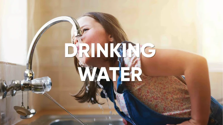
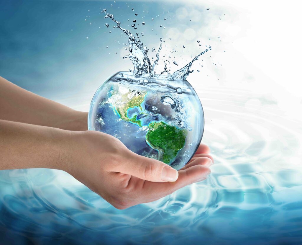
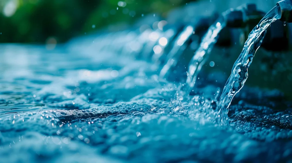
At NV5, we understand the importance of safe, reliable, and sustainable drinking water for our clients and communities. We have deliver award-winning projects that take into consideration the protection of our most valuable resources in the treatment and distribution of clean, pure, and safe water.

Our approach integrates advanced technology, industry-leading practices, and environmental stewardship to achieve exceptional outcomes as proven by the hundreds of domestic, recycled, and wastewater-related projects we have completed. Whether you need assistance with water supply planning, engineering design, construction management oversight, or asset management, our team is dedicated to delivering solutions that prioritize public health and sustainability.

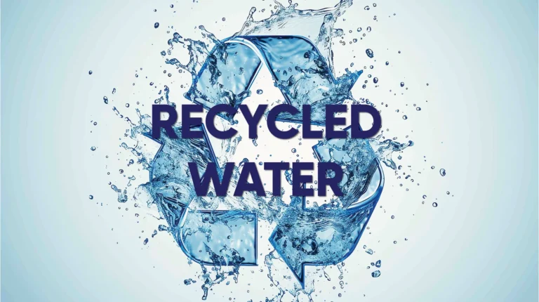
As water resources become even more scarce, there is a growing shift towards recycled wastewater for both indirect and direct potable reuse in water management. This is driven by several factors including: increasing water scarcity due to population growth and urbanization, the impacts of climate change causing more frequent droughts, and advancements in water treatment technologies that ensure safety. NV5’s engineers have experience in designing systems for water reuse, including pipelines, pump stations, storage tanks, and treatment facilities. We also offer services such as asset management, facility security, and cloud data management.

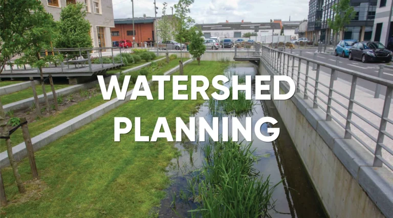
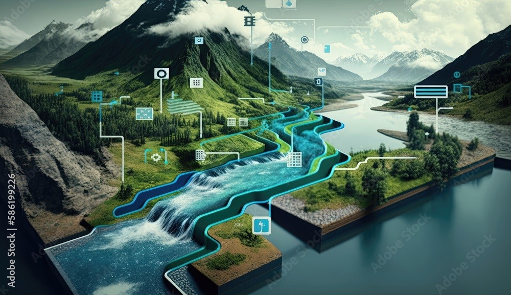
Watershed planning and urban design involve creating sustainable and resilient urban environments by managing water resources effectively. At NV5 we utilize an approach that integrates land use planning, stormwater management, and green infrastructure to reduce flooding, improve water quality, and enhance urban ecosystems. By considering the natural flow of water within a watershed, urban planners can design cities that minimize environmental impact, promote biodiversity, and provide recreational spaces for communities. This holistic strategy ensures that urban development is both environmentally responsible and beneficial for residents.

NV5 utilizes a variety of hydrographic survey data inputs (lidar, topobathy lidar, thermal, hyperspectral) in order to build a robust collection of hydrologic models that allows us to understand and communicate complex relationships in the field of hydrology.  Our data scientists cover hydrological disciplines that span the entire water usage cycle- from sources, to distribution, to usage.

NV5 utilizes a number of 1D and 2D models (hydraulics, hydrodynamics, sediment transport, water quality, and coastal processes) for rivers, floodplains, estuaries, coastal zones, wetlands, and drainage systems. NV5 is skilled in hydrologic and hydraulic studies, flood hazard analysis and mapping, channel scour and stabilization, bridge hydraulics and scour countermeasure design, hydraulic impact assessment, drainage study, as well as coastal engineering analysis and design, and modeling of coastal processes (waves, currents, littoral transport, and shoreline/beach evolution).

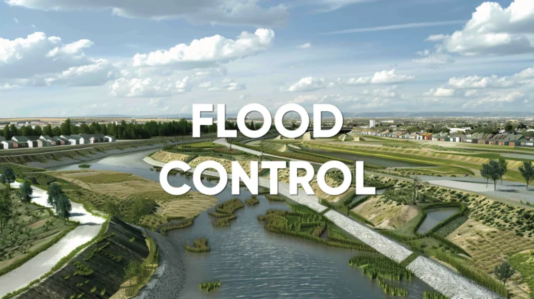
NV5 is a trusted partner to FEMA and other agencies charged with damage assessment and recovery operations following riverine or coastal flooding. We also support flood mitigation measures with floodplain mapping, inundation modeling, and predictive flood risk analytics.

NV5 provides comprehensive assessment, analysis, design, and implementation services for river and wetland restoration and compensatory mitigation projects across the U.S. Our team promotes an innovative and holistic approach to ecological restoration and other river management challenges through applied science and engineering. We pride ourselves on presenting sound engineering solutions through a multidisciplinary approach. This work is done in collaboration across NV5’s business verticals to ensure a balance is maintained in protecting essential infrastructure, while healing aquatic ecosystems.

GIS & Software Solutions for Water

NV5 offers a comprehensive selection of software services and products designed to transform data into meaningful information that allows resource and asset managers to take action.

Enterprise GIS Solutions

Cloud Managed Services - Consultation - Software Development & Design

NV5 offers a variety of managed services to achieve successful implementation the first time. Whether you’re looking to implement OnPrem or Cloud Services, we have the experience and expertise to guide you through even the most complex processes.

As one of very few Esri and Trimble Platinum Partners in the world, NV5 has helped organizations build, manage, and maintain robust GIS platforms designed to transform your data and move your operations seamlessly forward.

See how the city of Mercer Island, Washington Implemented ArcGIS Utility Network Leveraging a Workshare Approach View Case Study

Click Here To Learn More About Our GIS Services

ENVI Ecosystem

IMAGERY FOR ALL THINGS WATER

For over 30 years, ENVI set the benchmark for image processing and analysis platforms and technology. Today, the ENVI Ecosystem offers a suite of solutions that are easily tailored to diverse organizational needs and users.

  • Coastal & Inland Waters – Relative Water Depth
    ENVI
    ‘s relative water depth tool allows users to estimate the depth of water bodies based on satellite imagery. By analyzing changes in water surface elevation and comparing them to known reference points, ENVI can provide valuable insights into water depth variations, which are crucial for understanding hydrological processes, monitoring water resources, and supporting navigation and environmental management activities.
  • Water Quality
    By leveraging remote sensing data, ENVI can help researchers and environmental professionals monitor key water quality parameters such as turbidity, relative chlorophyll and phosphorous concentration, and suspended sediment loads. This information is crucial for assessing water quality, identifying potential pollution sources, and tracking changes over time.
  • Ground Water – Ground Water mapping
    ENVI
    can be used to support groundwater mapping by analyzing satellite imagery and integrating it with other data sources, such as borehole information and hydrological models. This information can help identify groundwater resources, assess aquifer characteristics, and monitor groundwater levels, which is crucial for sustainable water management and addressing water scarcity issues.
  • Flood Control – Flood Mapping
    By analyzing radar and optical imagery, ENVI can identify areas at risk of flooding, assess the extent of flood damage, and monitor changes in water levels over time. This information is vital for emergency response planning, disaster management, and understanding the impacts of climate change on flood patterns.
  • Impervious Surface Mapping
    ENVI
    can be used to map impervious surfaces, such as roads, buildings, and parking lots, by analyzing satellite imagery and applying image classification techniques. This information is valuable for urban planning, flood modeling, and understanding the impacts of urbanization on water quality and ecosystems.
  • Watershed Planning and Urban Park
    • Urban Park Characterization
      ENVI
      can be used to analyze urban park environments by assessing vegetation health, monitoring land use changes, and evaluating the impact of urbanization on green spaces. This information is valuable for urban planning, environmental management, and ensuring the sustainability of urban parks as valuable community resources.
    • Watershed Planning
      ENVI
      can be used to support watershed planning by analyzing land use patterns, assessing water quality, and modeling hydrological processes. This information is crucial for developing sustainable watershed management strategies, protecting water resources, and mitigating the impacts of climate change and human activities on watershed ecosystems.
  • Habitat Restoration – Restoration Monitoring
    ENVI
    can be a valuable tool in water habitat restoration efforts. By analyzing satellite imagery, ENVI can help identify degraded areas, assess the effectiveness of restoration projects, and monitor changes in vegetation and water quality over time. This information is crucial for developing targeted restoration strategies and evaluating their success in improving aquatic habitats and supporting biodiversity.

Click Here To Learn More About Our Software Solutions

Reach out to an expert to discuss your water needs

Fill out the form below to download the handbook.

Form #1 - Redirection to PDF

Form #2 - Sends email containing the link to the PDF

"*" indicates required fields

This field is for validation purposes and should be left unchanged.

eNewsletter - NV5 Real Estate Transaction Services

Contact NV5 Real Estate Transaction Services

Download NV5 2022 Compliance Calendar

Please fill out the form below. After successful form submission, you will be redirected to the requested file. Thank you.

"*" indicates required fields

We are an equal opportunity employer. All applicants will be considered for employment without attention to race, color, religion, sex, sexual orientation, gender identity, national origin, veteran or disability status. We ensure nondiscrimination in all programs and activities in accordance with Title VI of the United States Civil Rights Act of 1964. If you need more information or special assistance for persons with disabilities or limited English proficiency, contact MaryJo OBrien at (954) 495-2112. Persons with hearing-and speech-impairments can contact the NV5 by using the Virginia Relay Service, a toll-free telecommunication device for the deaf (TDD). Call 711 for TTY/TDD.
This field is hidden when viewing the form
This field is for validation purposes and should be left unchanged.

Hyperspectral Imaging - Technically Speaking

Our internal innovation and development team constantly analyzes new technology and develops solutions to meet our client’s challenges. Our Technically Speaking series is one way we share our technical findings with the professional community. 

Please tell us a little about yourself by filling out the form below, and we’ll share the document with you, thanks!

Accuracy Part 1- Technically Speaking

Our internal innovation and development team constantly analyzes new technology and develops solutions to meet our client’s challenges. Our Technically Speaking series is one way we share our technical findings with the professional community. 

Please tell us a little about yourself by filling out the form below, and we’ll share the document with you, thanks!

Prune Optimization Webinar Recording

NV5 Geospatial releases a new predictive modeling platform for vegetation management that uses existing lidar and historical data to identify the relative level of asset risk from trees by quantifying the potential for causing asset damage. 

Please tell us a little about yourself by filling out the form below, and we’ll share the document with you, thanks!

Topobathy Lidar - Technically Speaking

Our internal innovation and development team constantly analyzes new technology and develops solutions to meet our client’s challenges. Our Technically Speaking series is one way we share our technical findings with the professional community. 

Please tell us a little about yourself by filling out the form below, and we’ll share the document with you, thanks!

Contact Geospatial

Contact Geospatial