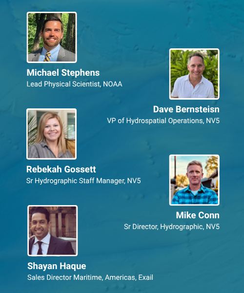
Wednesday, August 27 at 2 PM ET / 1PM CT
In this live webinar, you’ll discover how our latest hydrographic survey innovations, developed and refined across multiple years of Great Lakes operations, can support your infrastructure, energy, and environmental initiatives.
We’ll highlight:
Survey efficiencies that cut timelines without compromising quality
Integration of hydrographic, terrestrial, and topobathymetric lidar data
Real-world applications that power better planning and decision-making
We hope to see you there!

About NV5 Geospatial- NV5 Geospatial is a provider of geospatial services, providing end-to-end solutions and insights to organizations that need geospatial intelligence to mitigate risk, plan for growth, better manage resources and advance scientific understanding. We combine the widest array of advanced remote sensing technologies with proprietary processes, analytics tools, algorithms, and analyses tailored to meet our clients’ needs.
