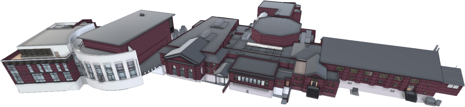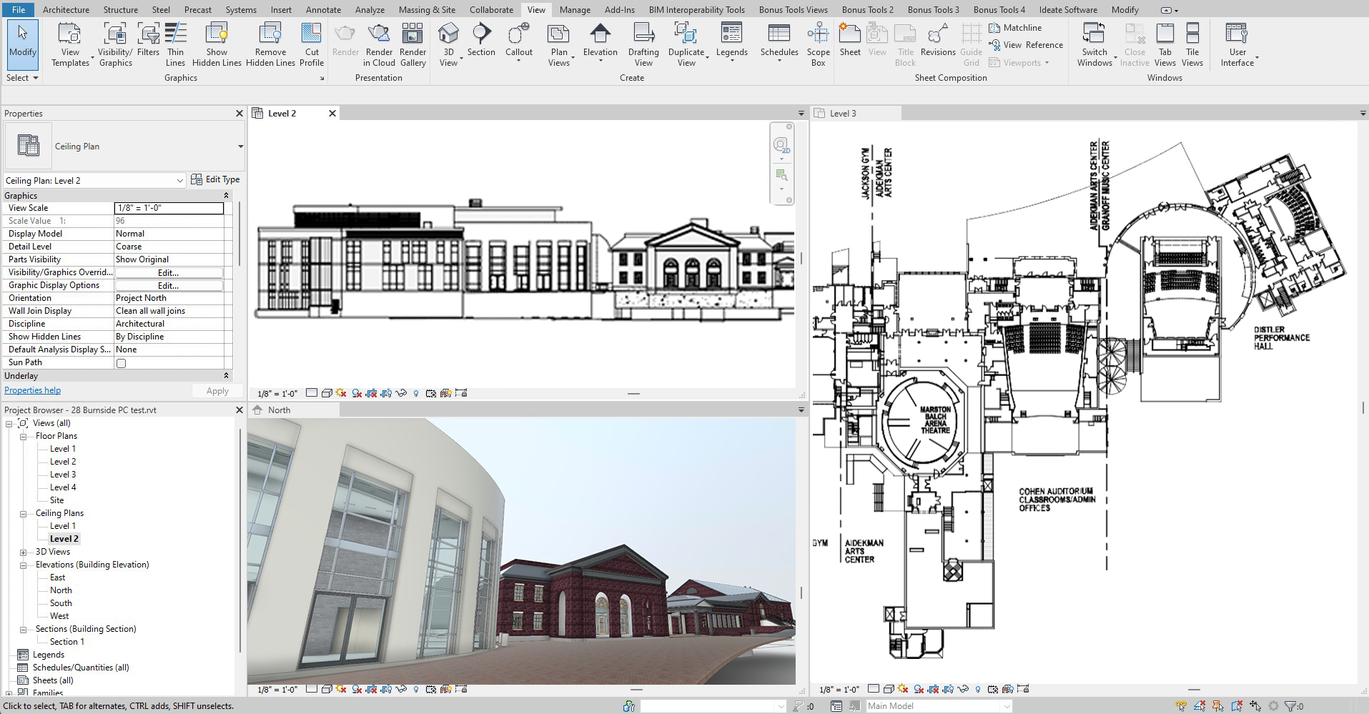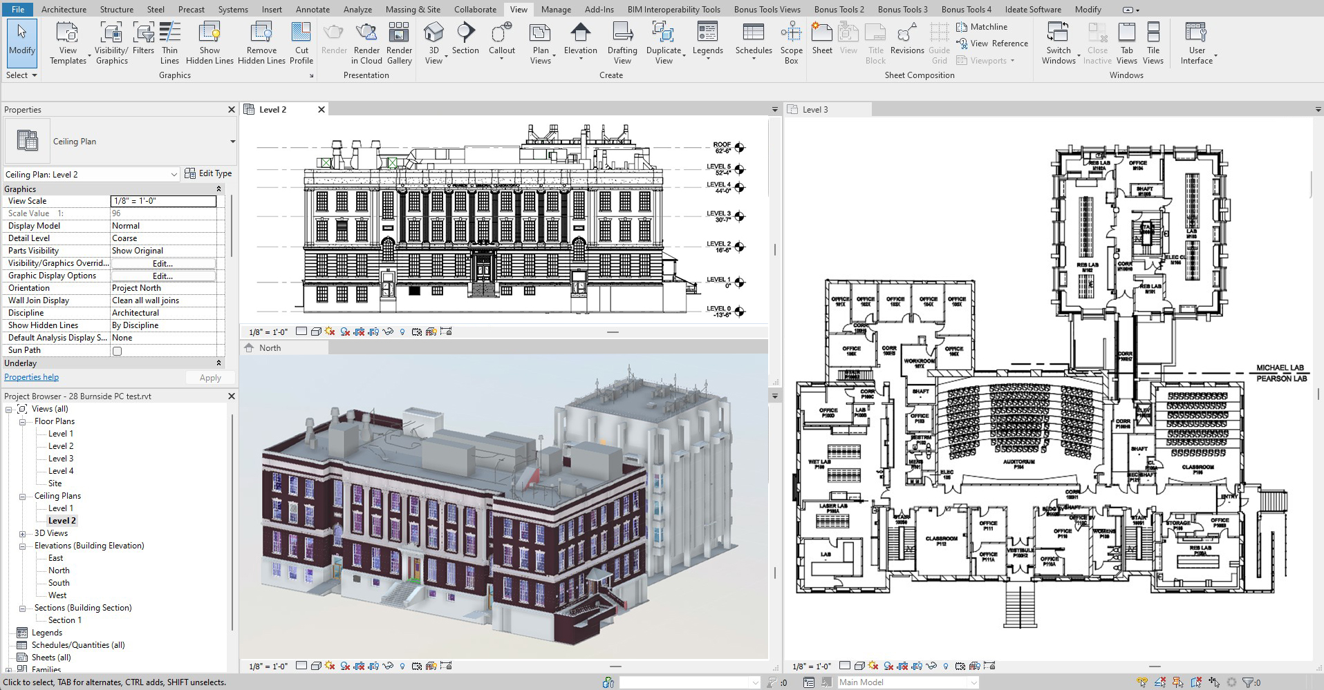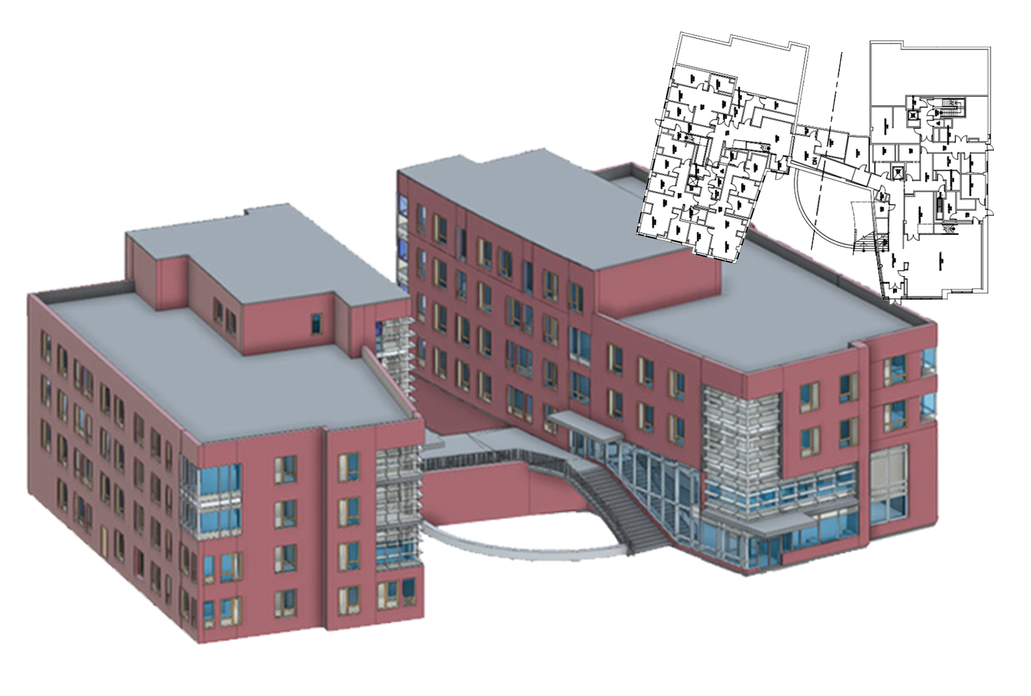
Tufts University initiated a project to standardize spatial data on its three campuses, encompassing over 4 million sf across hundreds of buildings. The primary objectives were to clean up existing Revit files and to develop models for buildings without accurate documentation. The project involved evaluating and organizing CAD/BIM Master drawings, which covered 2.86 million sf in Revit, CAD, and PDF formats.
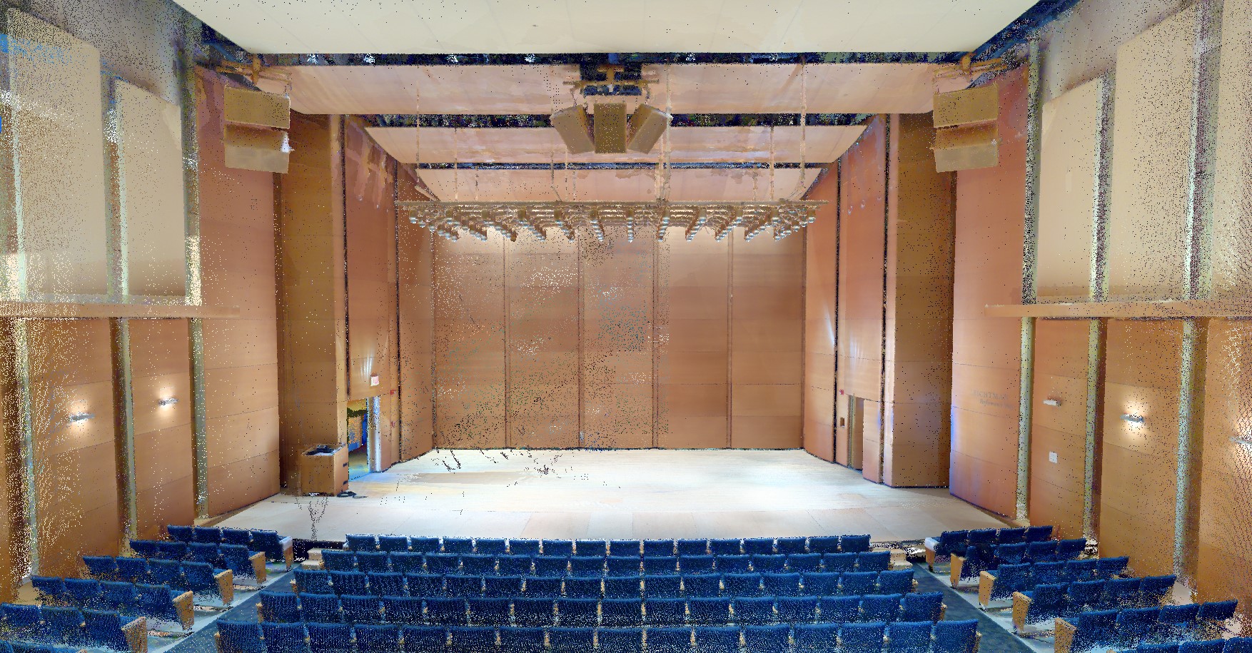
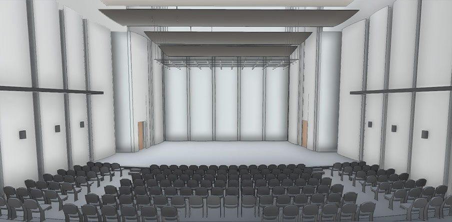
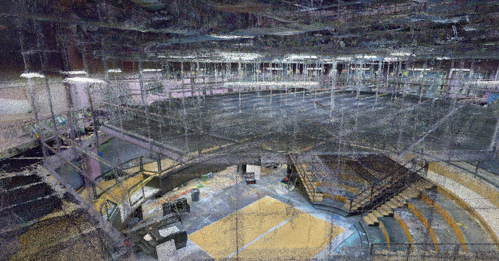
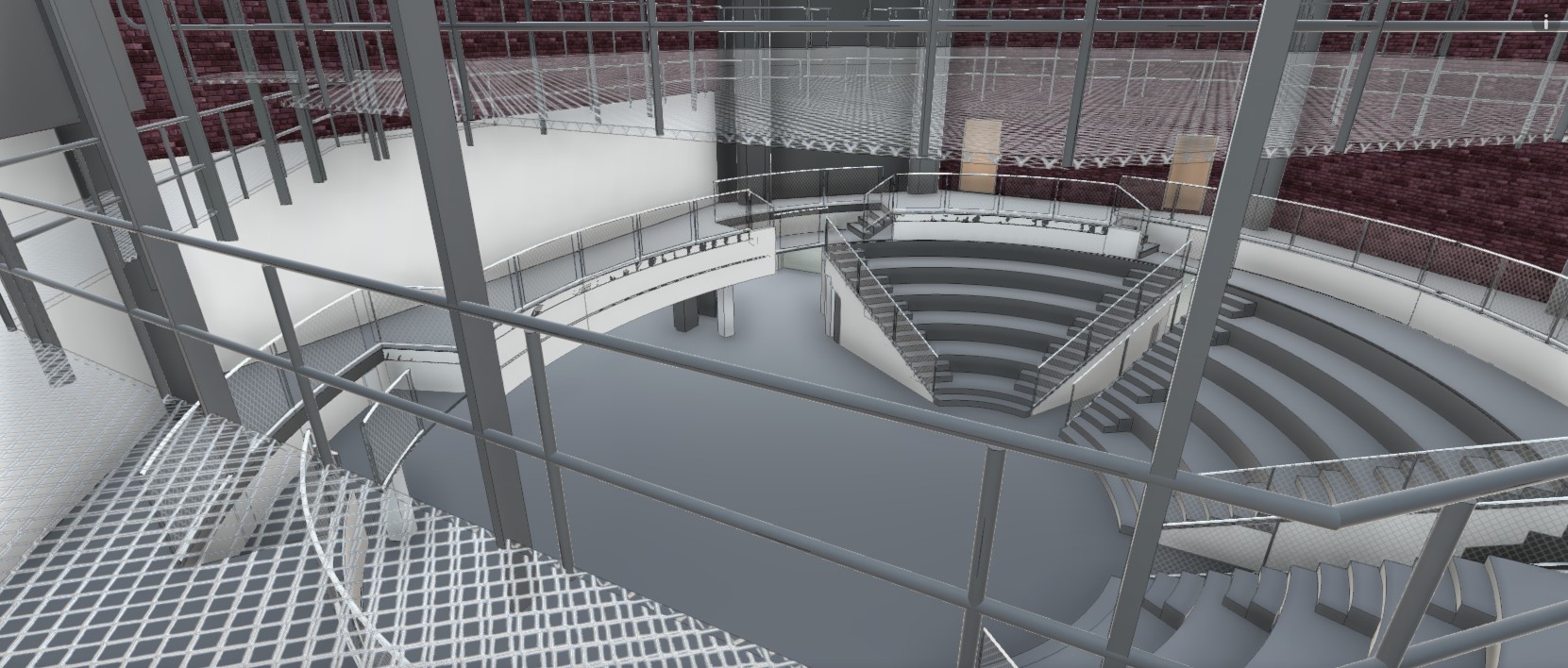
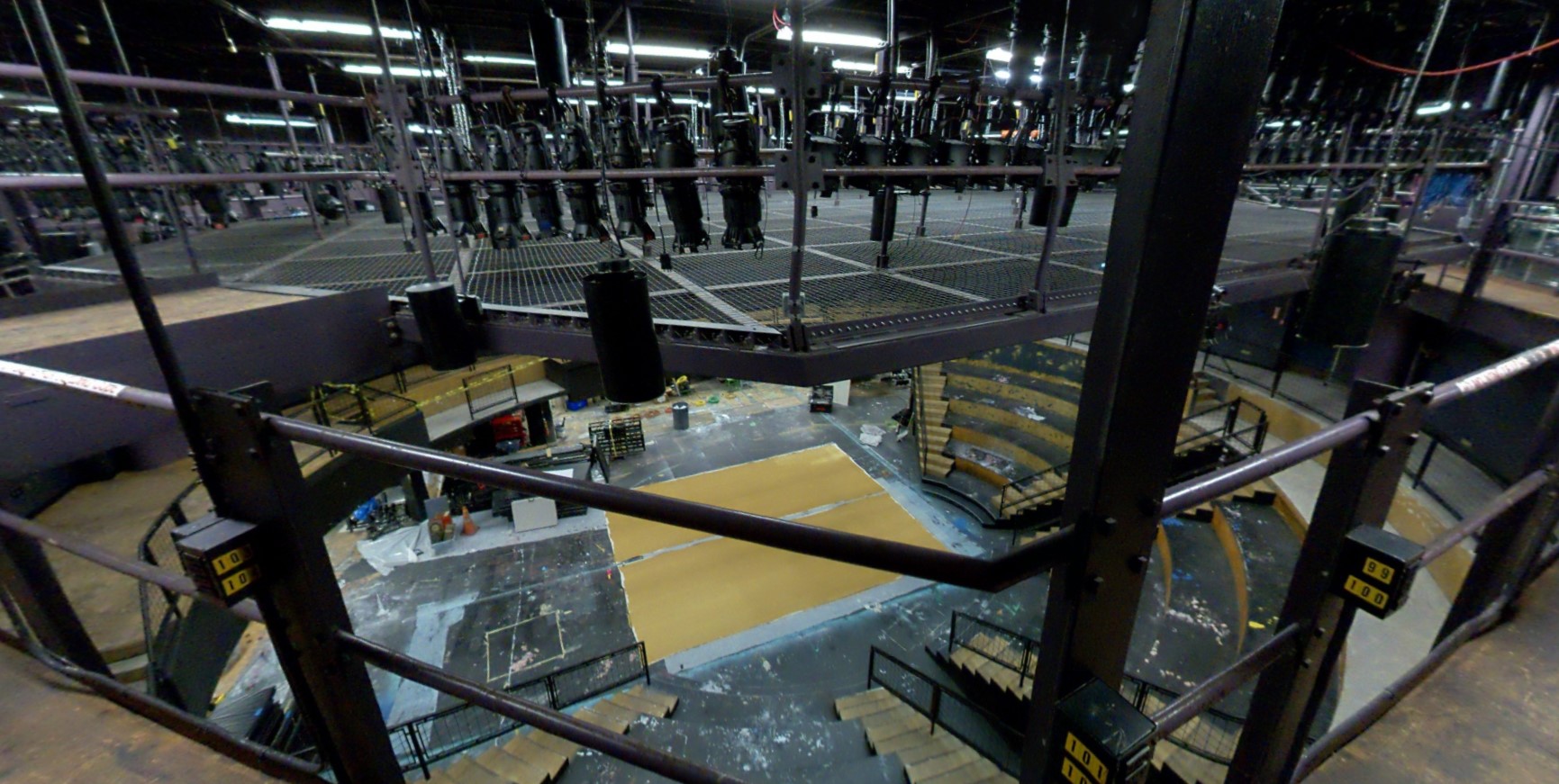
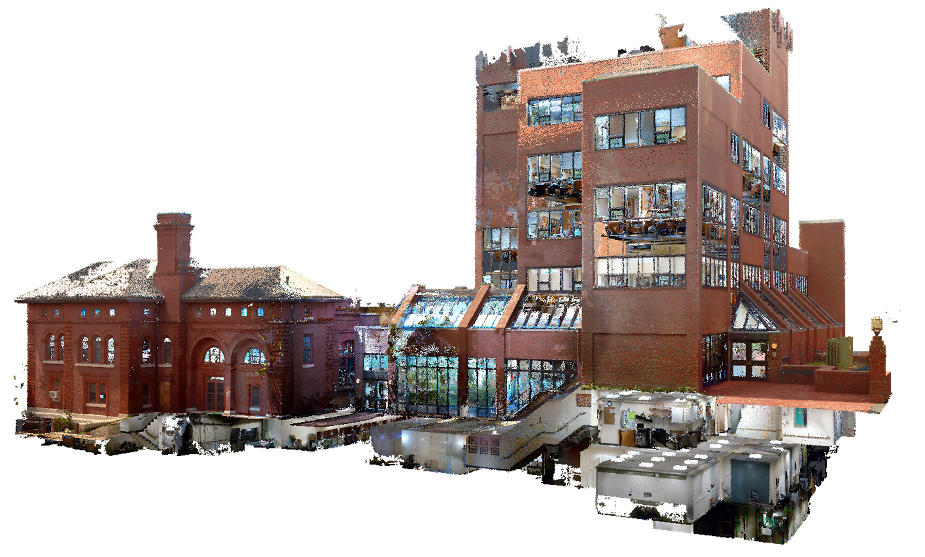
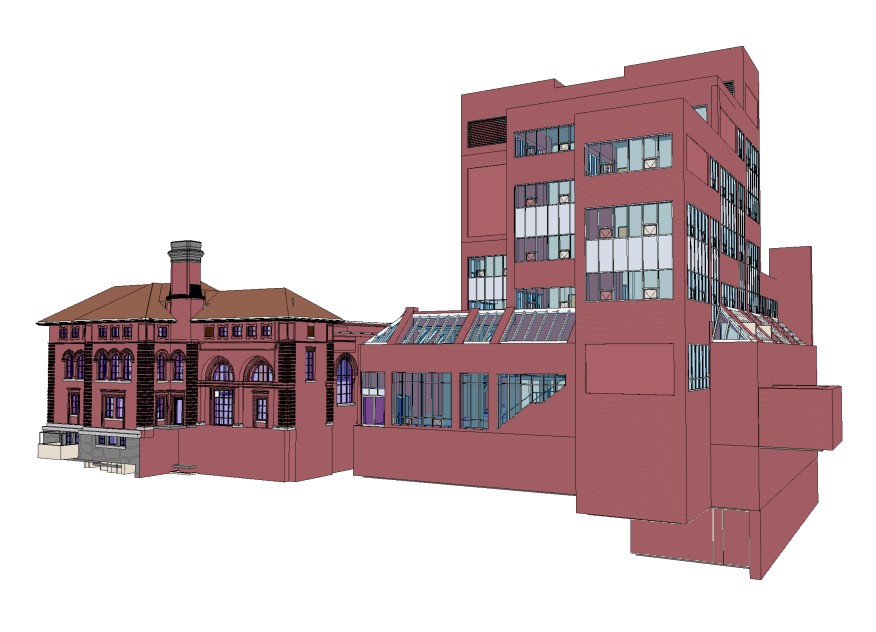
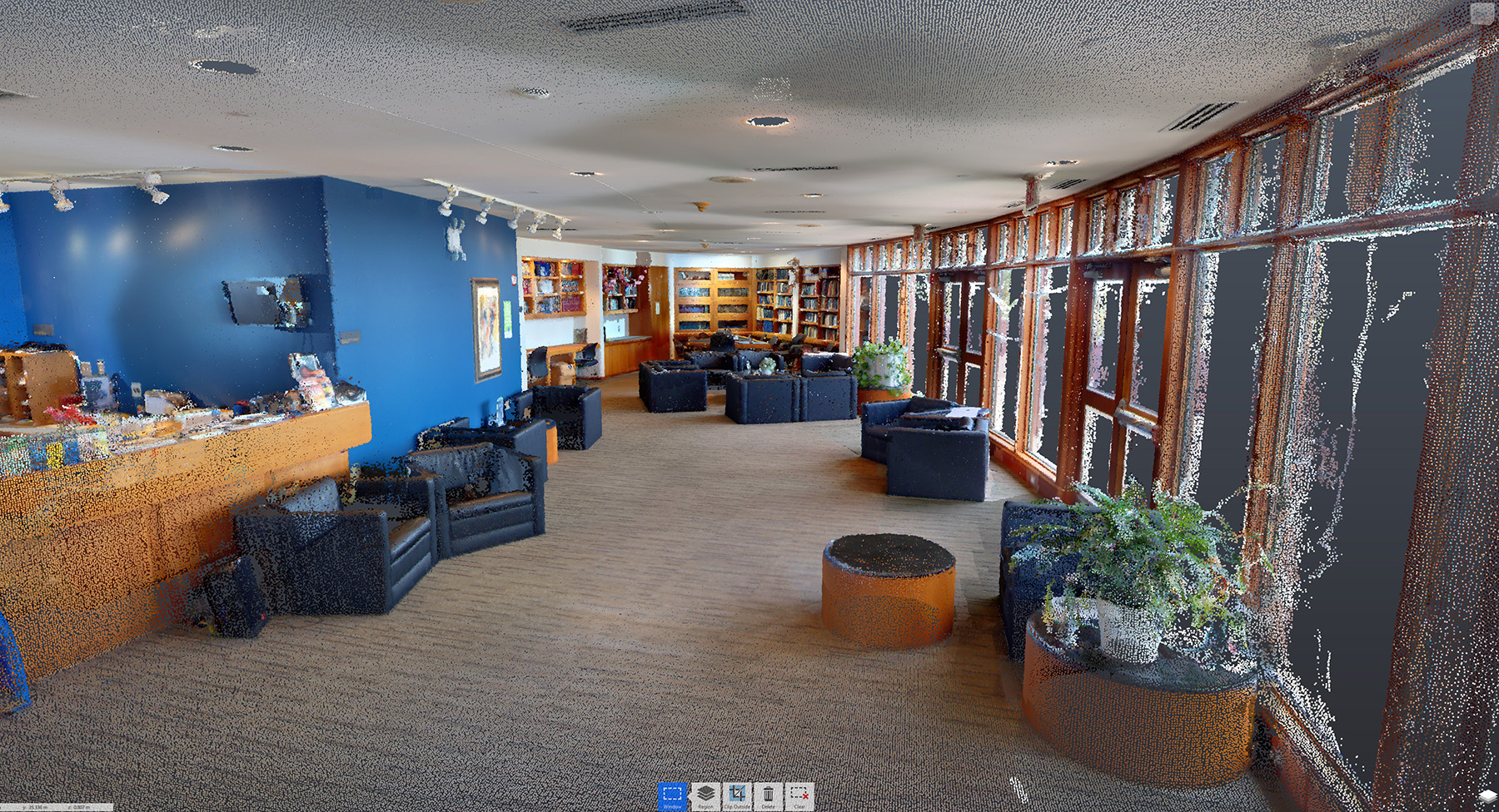
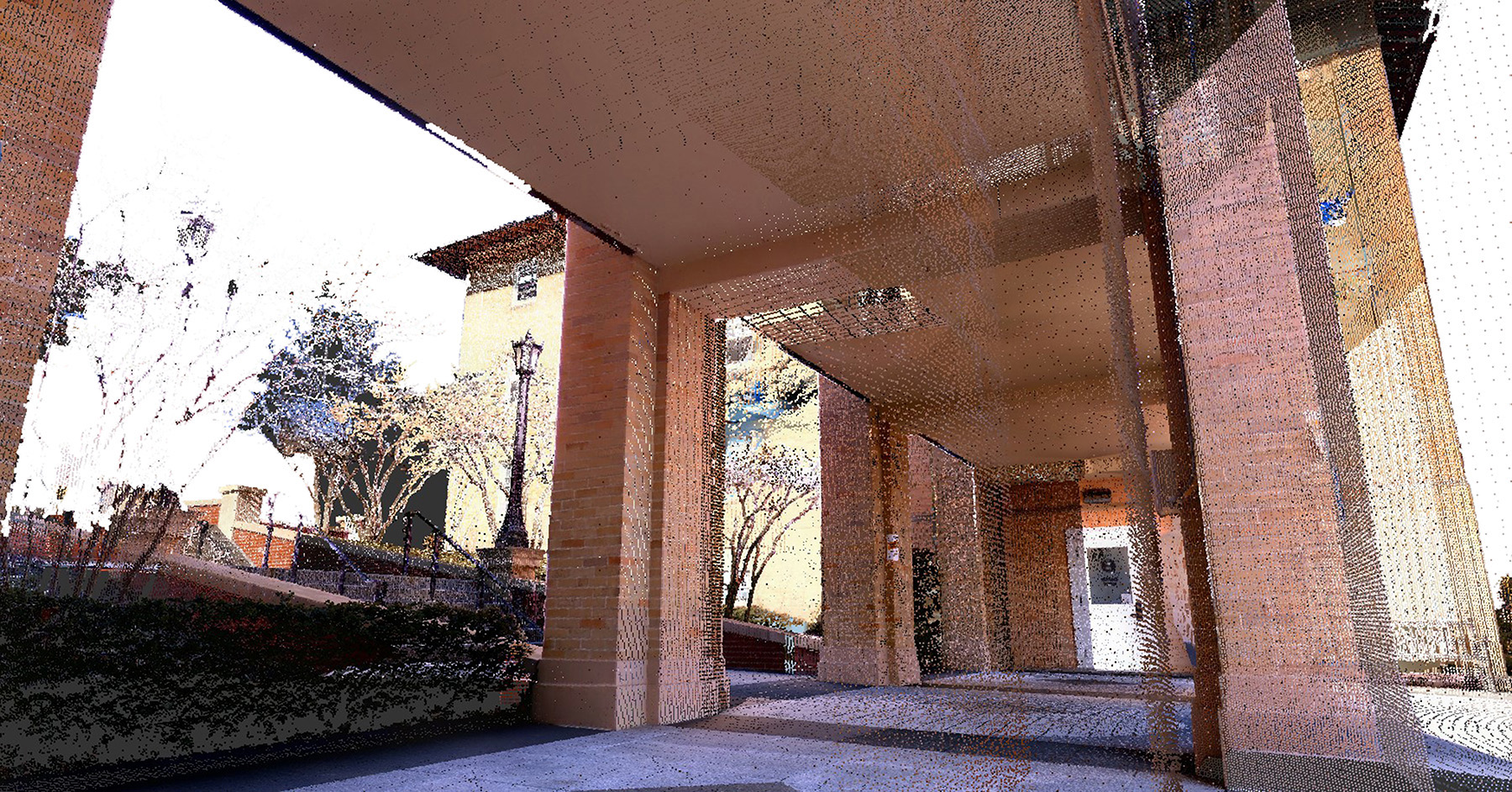
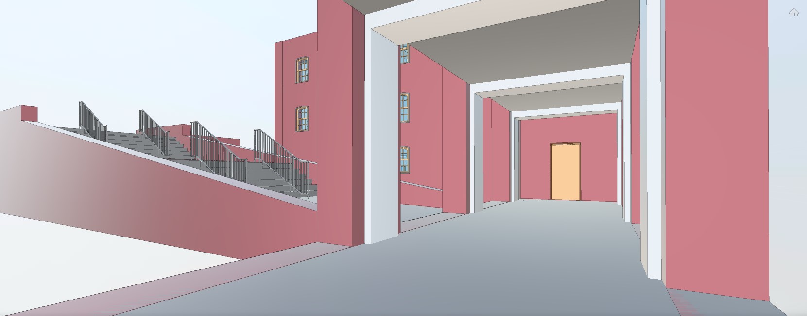
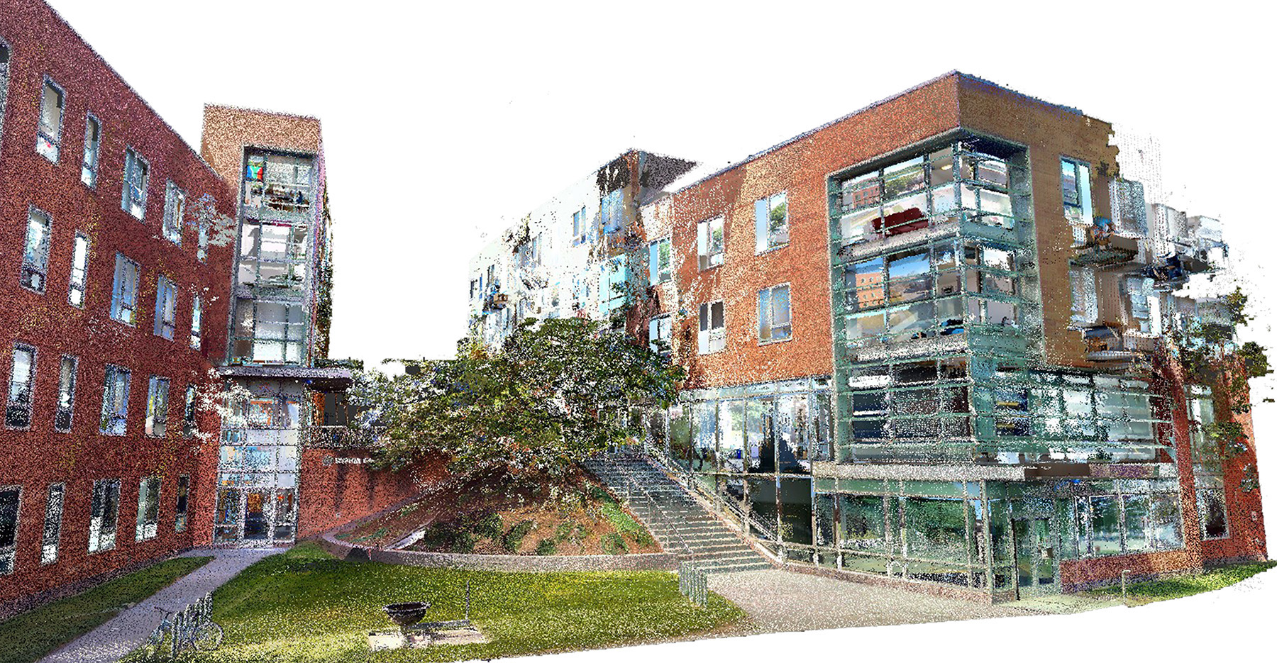
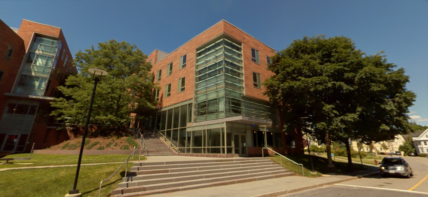
The NavVis VLX wearable mobile laser scanner was used for 76 buildings totaling 1.6 million sf that needed current documentation. The resulting point clouds detailed building exteriors and interiors, MEPF equipment, and object detection. These point clouds were then utilized to create as-built models consistent with Tufts’ BIM Standards.
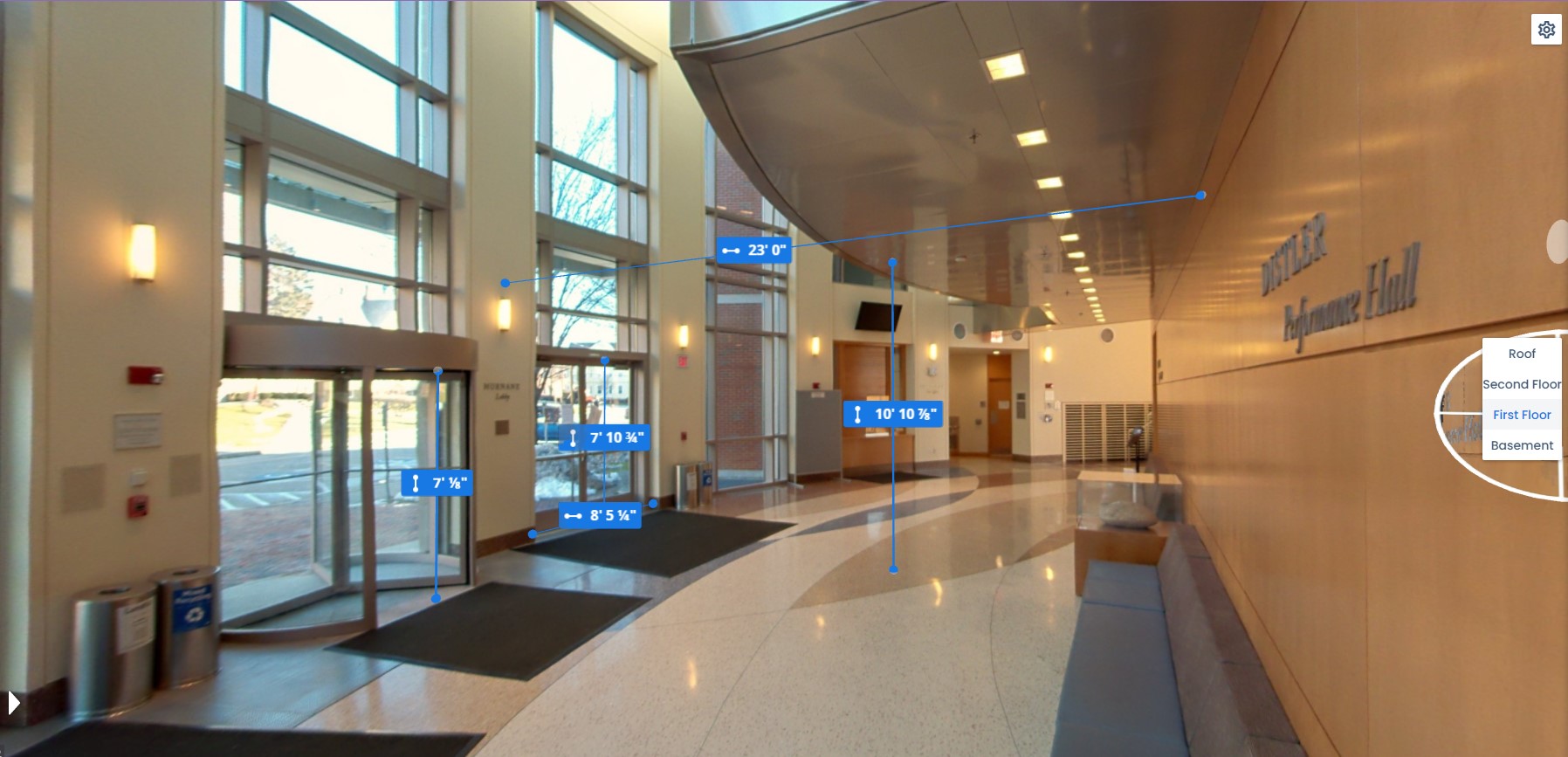
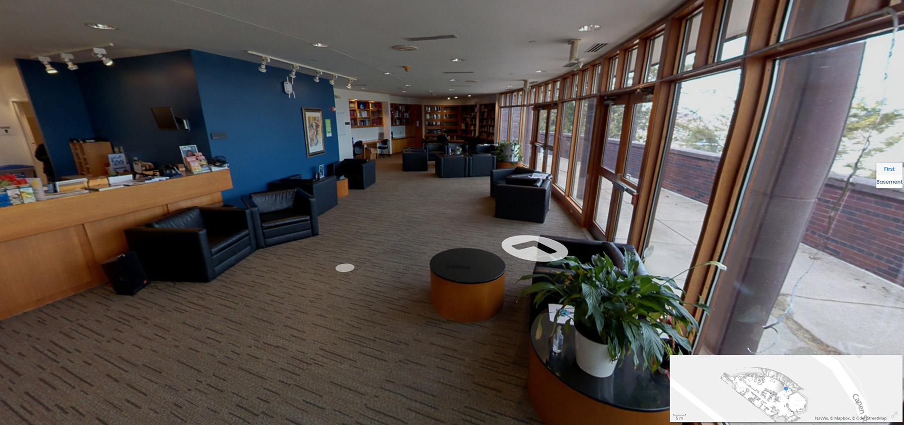
The project deliverables included consistency in file naming, space categorization, up-to-date Revit models, point clouds, and web-based virtual tours. These resources supported Tufts’ upcoming Computer-Aided Facility Management (CAFM) integration and space management goals.
This initiative was carefully timed to minimize disruption to regular operations, with all scanning performed during winter, spring, and summer breaks. The standardized as-built models and data now serve as a critical asset for planning and decision-making, with future potential for integrating the database and Revit models to further enhance the university’s facilities management capabilities.