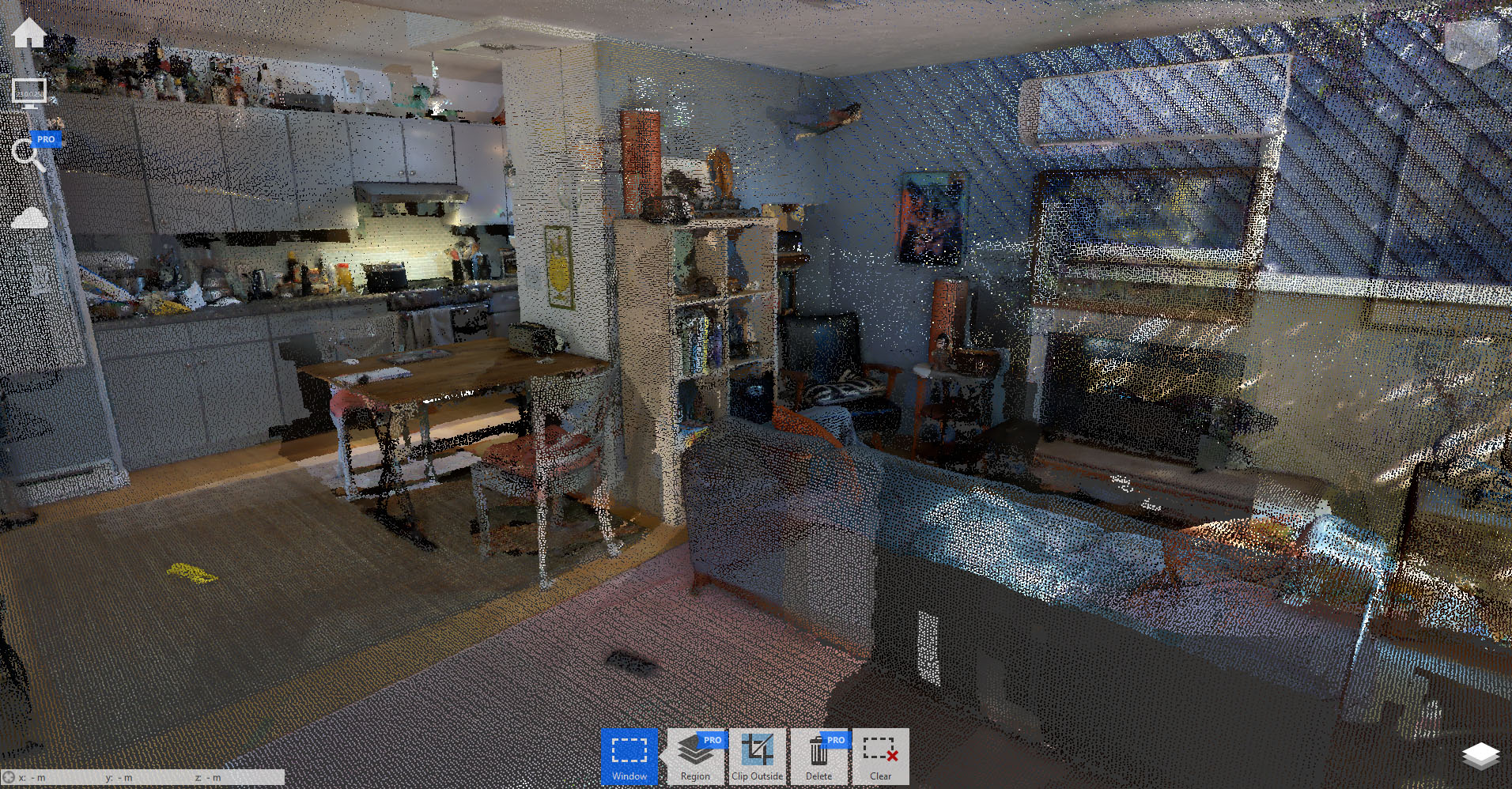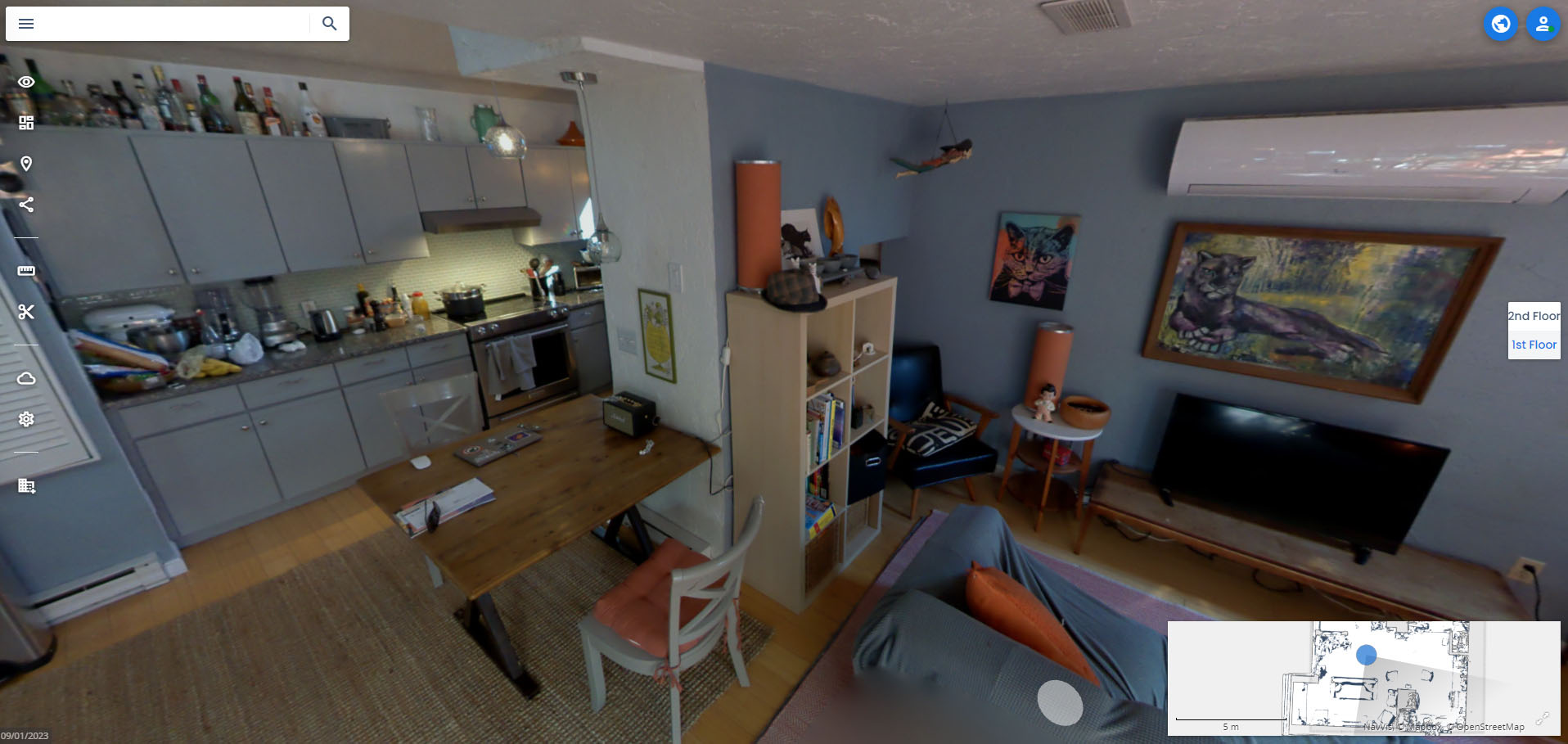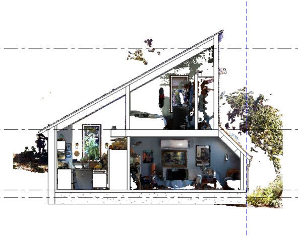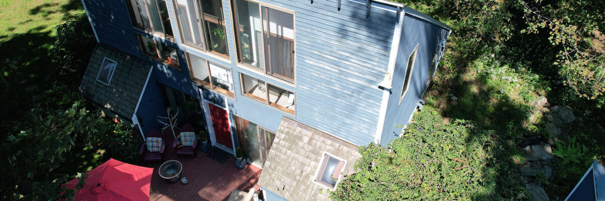
Using the NavVis VLX 3 mobile scanner and DJI Mavic 3E drone, we documented interior and exterior conditions in a single day. The deliverables included a 3D point cloud in Autodesk Recap format, a Revit model, 39 indoor panoramic images for virtual navigation, and 76 drone images for aerial inspection and roof documentation.
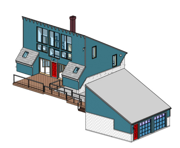
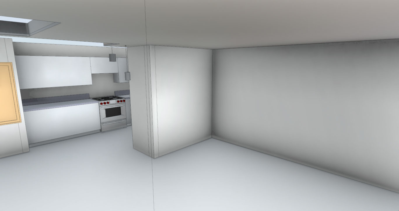
The resulting model was developed using best-fit geometry and aligned to BIM standards for usability in planning and design. Our approach emphasized clean, structured modeling to support future renovations, visualization, and coordination efforts.