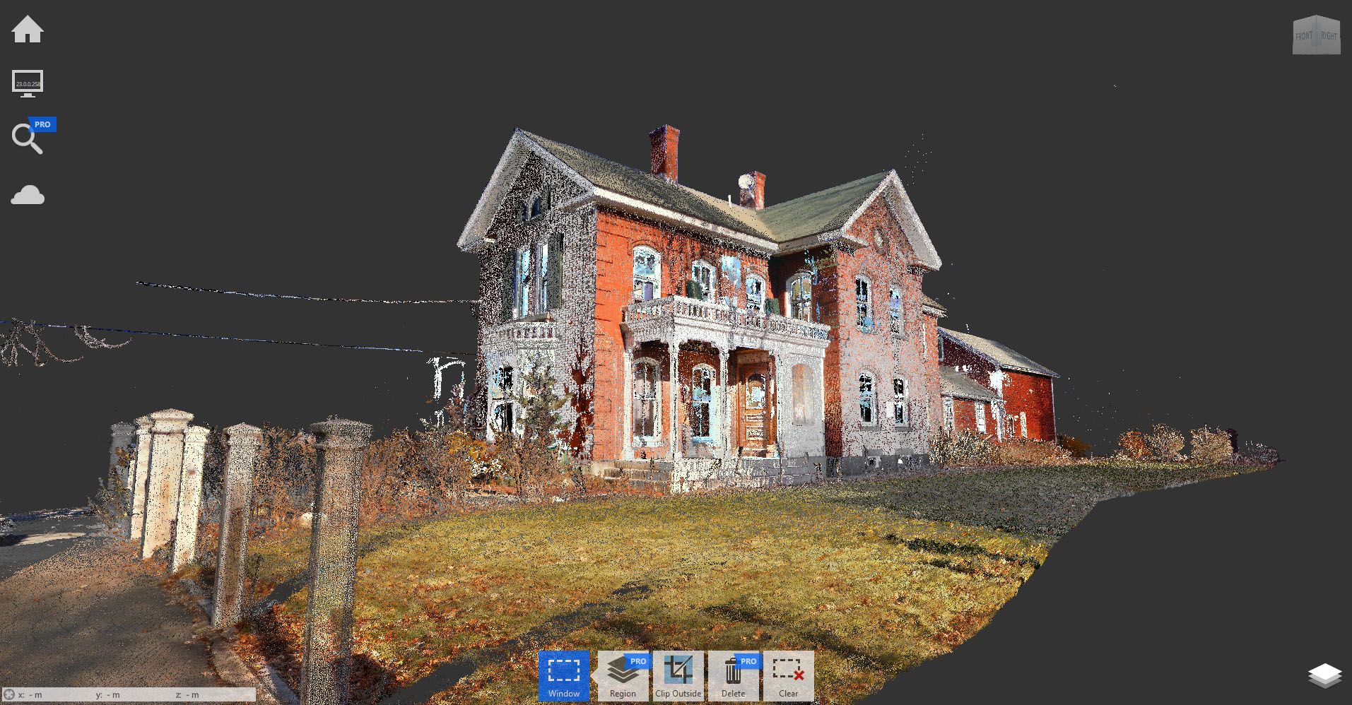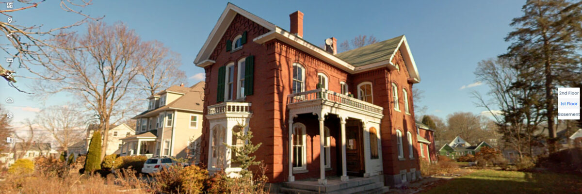
Scanning was completed in two hours using a combination of NavVis VLX 3 for interior coverage and a Trimble X9 tripod scanner for the exterior. The team used stationary scanning to capture detailed brickwork with greater precision, while mobile workflows allowed efficient documentation across three levels.
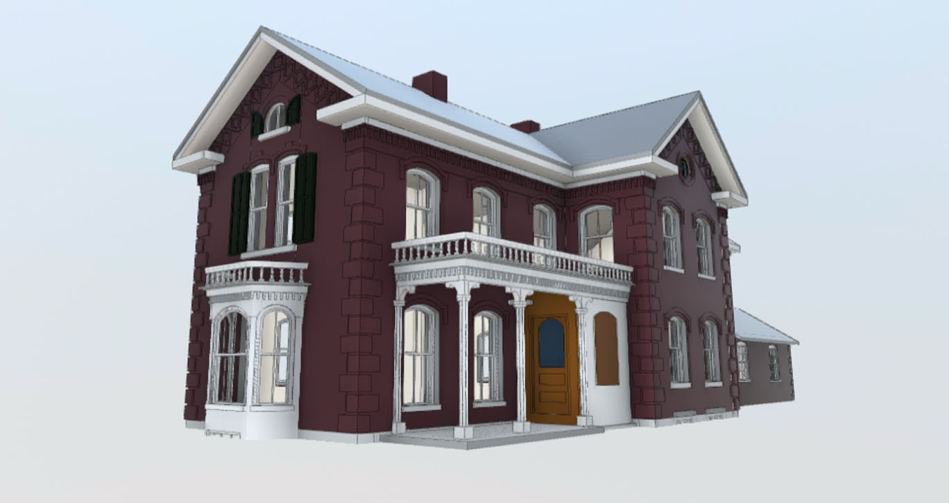
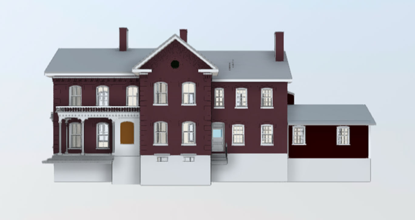
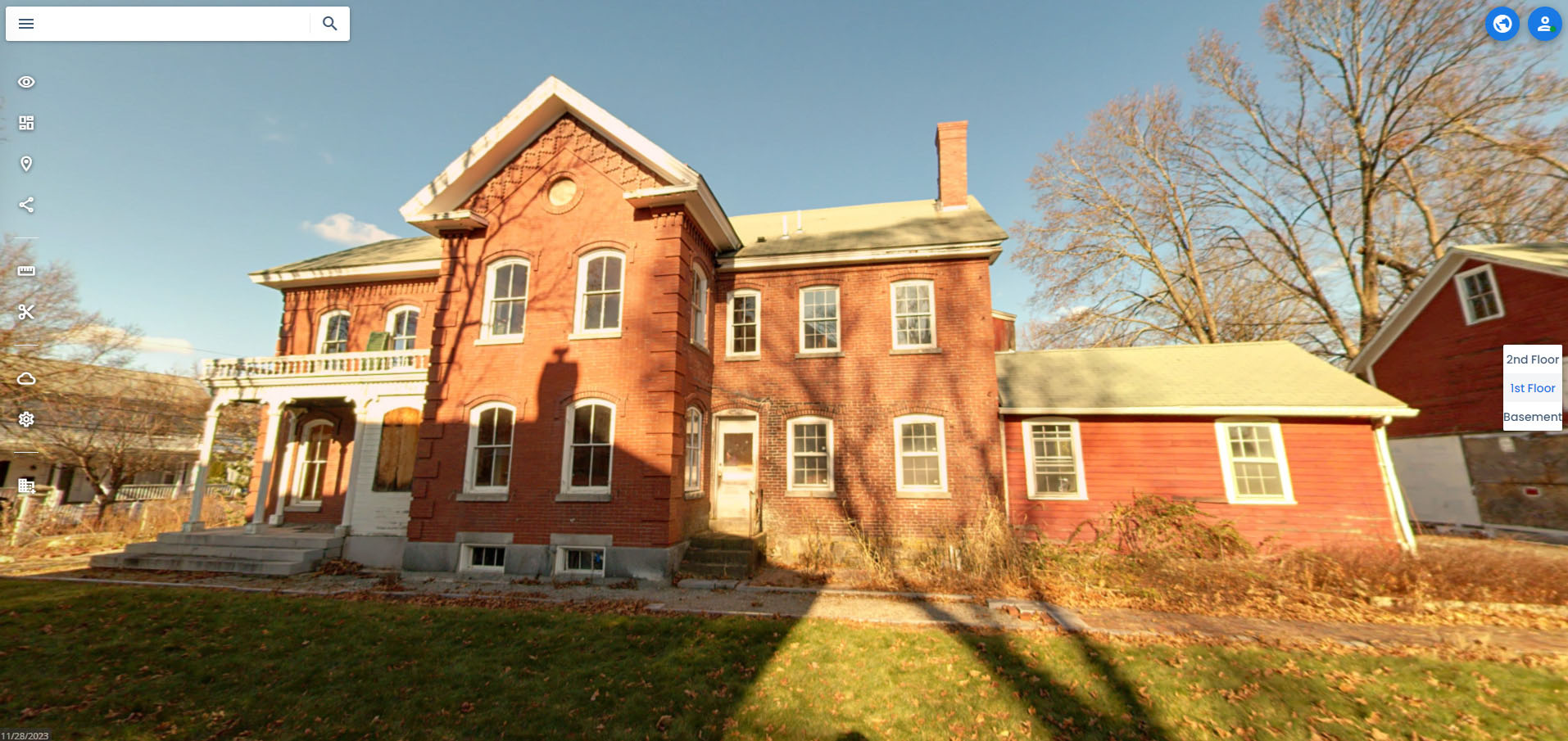
We produced a point cloud, Revit model, and virtual tour, with modeling focused on architectural and structural accuracy. Geometry was best-fit to within ½ inch and organized using standard Revit categories.