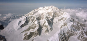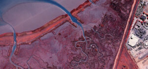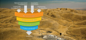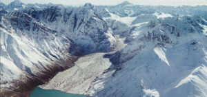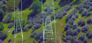
Know the Risk! Our tech & analytics deliver a clear view of geologic hazards
Quantum Spatial’s remote sensing analytics provide unparalleled insight into geologic hazard identification and mitigation. Advancing technologies like LiDAR, thermal sensing, and multi-spectral imaging allow us to