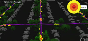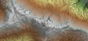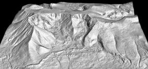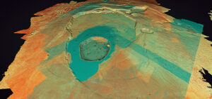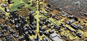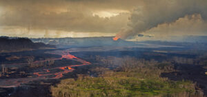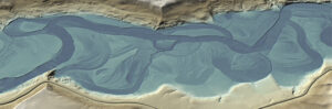
How remote sensing has changed riverine exploration
The impact of remote sensing technology, specifically topobathy lidar and thermal imaging, has expanded the possibilities of river and inland waterway management. Michael Shillenn, Quantum Spatial Vice