In 2010, the City of Alachua saw an opportunity to expand the immediate and long-term recreational and cultural opportunities for its citizens as a 105-acre site contiguous with the City’s premier community park, the Hal Brady Recreation Complex, was available for purchase. The large, undeveloped site had the potential to expand existing programs as well as offer new passive recreation within the heart of the City. In 2012, the community’s dream was realized with the purchase of the property. At that point, the programming and master planning of the site was already well underway.
The Legacy Park Master Plan represents the next step in the process of designing and constructing this premier recreational and cultural facility. This plan provides a resource to guide detailed design as various project phases are initiated. It also provides a roadmap as the current design evolves with new priorities and future possibilities. The Master Plan will also provide the information needed to solicit funding, apply for grants, and advertise for future design and construction services.
The master planning effort was initiated by the desire for Phase 1 construction in early 2016 and the need to vet the location of the multipurpose center and passive recreation prior to issuance of a request for Phase 1 design services. However, the Master Plan also offers a more comprehensive look at the design of Legacy Park overall and documents the park’s purpose, vision, and values as defined by the citizens of Alachua.
CHW Services Provided:
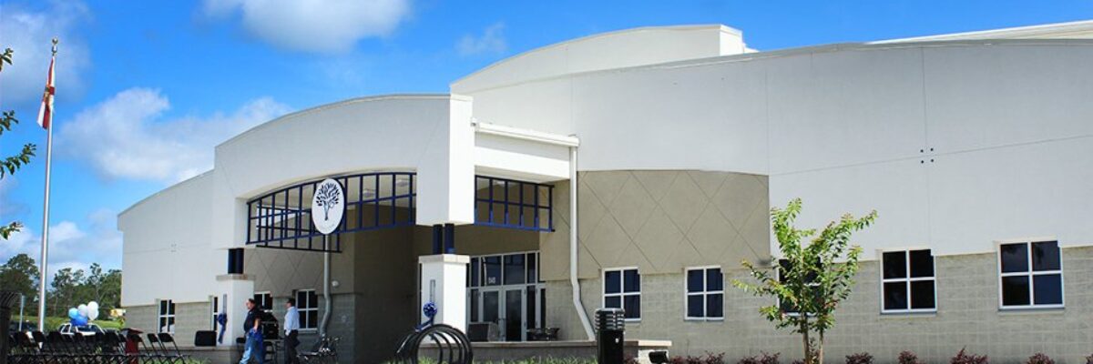
Location: Alachua, Florida
Team: Engineering, Planning + Design, Surveying + Mapping
Status: Complete
Fill out the form below to download the handbook.
"*" indicates required fields
Please fill out the form below. After successful form submission, you will be redirected to the requested file. Thank you.
"*" indicates required fields
Our internal innovation and development team constantly analyzes new technology and develops solutions to meet our client’s challenges. Our Technically Speaking series is one way we share our technical findings with the professional community.
Please tell us a little about yourself by filling out the form below, and we’ll share the document with you, thanks!
NV5 Geospatial releases a new predictive modeling platform for vegetation management that uses existing lidar and historical data to identify the relative level of asset risk from trees by quantifying the potential for causing asset damage.
Please tell us a little about yourself by filling out the form below, and we’ll share the document with you, thanks!
Our internal innovation and development team constantly analyzes new technology and develops solutions to meet our client’s challenges. Our Technically Speaking series is one way we share our technical findings with the professional community.
Please tell us a little about yourself by filling out the form below, and we’ll share the document with you, thanks!