a new dimension of storytelling
VIRTUAL PRODUCTION • ENTERTAINMENT • GAMING • FILM
A BOUNDLESS WORLD WITH INFINITE CAMERA MOVES AND POINTS OF VIEW
IN THE PAST, AERIAL PLATES WERE LIMITED TO A SINGLE PERSPECTIVE. LARGE SCALE DATA CAPTURE OFFERS UNLIMITED ANGLES, CAMERA MOVES, AND LENS OPTIONS.
ULTRA-HIGH RESOLUTON
PHASE ONE 150 MEGAPIXEL CAMERAS CAPTURE FLAWLESS DETAIL IN RAW FORMAT, READY FOR IMPECCABLE COLOR-GRADING.
MULTIPLE CAMERA ARRAY
OUR IN-HOUSE TEAM DESIGNS AND BUILDS CUSTOM CAMERA CONFIGURATIONS WITH FORWARD, REAR, LEFT, RIGHT, AND NADIR ANGLES.
PRECISE GEOPOSITIONING THROUGH LIDAR + IMAGERY FUSION
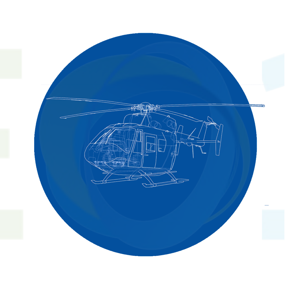
A LOCATION CREW INCLUDES NO MORE THAN 5 PEOPLE: HELICOPTER PILOT, REMOTE SENSING OPERATORS, DATA WRANGLER, AND PRE-PROCESSING ANALYST. EXPERIENCED CREW TYPICALLY CAPTURE LARGE AREAS IN JUST A FEW FLIGHTS OVER THE SPAN OF A FEW DAYS.
EFFICIENT IMAGE ACQUISITION
A LOCATION CREW INCLUDES NO MORE THAN 5 PEOPLE: HELICOPTER PILOT, REMOTE SENSING OPERATORS, DATA WRANGLER, AND PRE-PROCESSING ANALYST. EXPERIENCED CREW TYPICALLY CAPTURE LARGE AREAS IN JUST A FEW FLIGHTS OVER THE SPAN OF A FEW DAYS.
PRIMED TO DEPLOY
BASED OUT OF THE HAWTHORNE AIRPORT — IN THE HEART OF THE AEROSPACE INDUSTRY, JUST A FEW MILES FROM LOS ANGELES INTERNATIONAL AIRPORT. EASY ACCESS TO INTERNATIONAL DESTINATIONS.
WE HAVE YEARS OF EXPERIENCE COORDINATING WITH INTERNATIONAL AUTHORITIES, SHIPPING EQUIPMENT ACROSS THE WORLD, AND SENDING CREW TO REMOTE LOCATIONS AT A MOMENT’S NOTICE.
TECHNICAL CAPABILITY. EXPEDITION READY.
MANY OF OUR AERIAL CREW HAVE OVER 5,000 HOURS OF FLIGHT EXPERIENCE, OPERATING GYROSTABILIZED CAMERA SYSTEMS, HIGH RESOLUTION CAMERAS, AND LIDAR SENSORS IN REMOTE LOCATIONS.
TECHNICAL CAPABILITY. EXPEDITION READY.
MANY OF OUR AERIAL CREW HAVE OVER 5,000 HOURS OF FLIGHT EXPERIENCE, OPERATING GYROSTABILIZED CAMERA SYSTEMS, HIGH RESOLUTION CAMERAS, AND LIDAR SENSORS IN REMOTE LOCATIONS.
FROM THE ARCTIC TO THE AMAZON
EXTENSIVE LOCATION EXPERIENCE IN 30+ COUNTRIES.
THROUGH THE LENS OF AN AERIAL CINEMATOGRAPHER
BEFORE TRANSITIONING INTO LIDAR AND LARGE SCALE DATA CAPTURE, OUR TEAM SPENT 15 YEARS PRODUCING AWARD-WINNING AERIAL CINEMATOGRAPHY. WE FILMED AMAZING VISTAS AROUND THE WORLD FOR NATURE DOCUMENTARIES AND FEATURE FILMS. AFTER RECOGNIZING THE UNIQUE POTENTIAL OF LIDAR, OUR TEAM DEVELOPED INNOVATIVE TECHNIQUES TO ACQUIRE AERIAL LIDAR FOR THE GEOSPATIAL INDUSTRY, REVOLUTIONIZING HOW PEOPLE VIEW AND UNDERSTAND THE WORLD AROUND US. WE MERGED THE POWER OF LIDAR WITH CREATIVE AND LOGISTICAL EXPERTISE TO PIONEER NEW ACQUISITION AND DATA PROCESSING TECHNIQUES.
PLATFORM INDEPENDENT
MANY OF OUR AERIAL CREW HAVE OVER 5,000 HOURS OF FLIGHT EXPERIENCE, OPERATING GYROSTABILIZED CAMERA SYSTEMS, HIGH RESOLUTION CAMERAS, AND LIDAR SENSORS IN REMOTE LOCATIONS.


