


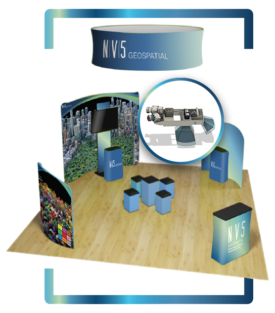
Geo Week is right around the corner, and our team is looking forward to participating and meeting up with our peers, partners, and clients. We will be at BOOTH #507 during the three day conference and are excited to share with attendees some of the innovative technology advancements and projects we have been involved with over the last year including:
Elevation Derived Hydrology · Forestry and wildfire computational and analytical derivative · Hydrospatial and topobathymetric solutions · CLASS Sensor Package · Utility based vegetation management · INSITE immersive software
Geospatial technology and its capabilities are changing constantly with new features, products, and software designed to make work safer, faster, less expensive, and better performing. Listen as Mark Abatto, NV5 Geospatial President & COO, discusses our latest initiatives and vision of the future.
During this case study presentation, Joel will walk attendees through NV5 Geospatial’s role in collecting high density lidar almost immediately following the 2018 Kilauea volcano eruption on the Big Island, Hawai’i and again in 2019. The goal of the first collection was to rapidly collect the data and then to conduct rapid data processing in order to place the data in the hands of scientists and engineers so they could do expedited modeling and decision making.
Mike will be participating in a discussion with industry peers and USGS to review national mapping initiatives outside the US “including approaches and technologies, scale and scope of work, database management and sharing, systems integration and more.”
Dr. Brenner will discuss how lidar has become a foundational dataset for forestry, opening up insights that were previously impossible to quantify. The combination of high density lidar, high res-imagery and deep learning algorithms now allows the natural resource management community to look beyond the forest stand to the individual trees that constitute it. There are both advantages and risks to taking an individual tree approach to mapping and inventorying forests but the potential of the information unlocked is significant. This talk will outline a couple of approaches to extrapolating from field plots to forest tracts using individual tree delineation techniques and where they would be most appropriately used.
Stop by the booth to talk all things lidar, immerse yourself in video and get a hands-on look at our very own multi-sensor platform, the CLASS. And don’t forget to pick up some NV5G swag!
Fill out the form below to download the handbook.
"*" indicates required fields
Please fill out the form below. After successful form submission, you will be redirected to the requested file. Thank you.
"*" indicates required fields
Our internal innovation and development team constantly analyzes new technology and develops solutions to meet our client’s challenges. Our Technically Speaking series is one way we share our technical findings with the professional community.
Please tell us a little about yourself by filling out the form below, and we’ll share the document with you, thanks!
NV5 Geospatial releases a new predictive modeling platform for vegetation management that uses existing lidar and historical data to identify the relative level of asset risk from trees by quantifying the potential for causing asset damage.
Please tell us a little about yourself by filling out the form below, and we’ll share the document with you, thanks!
Our internal innovation and development team constantly analyzes new technology and develops solutions to meet our client’s challenges. Our Technically Speaking series is one way we share our technical findings with the professional community.
Please tell us a little about yourself by filling out the form below, and we’ll share the document with you, thanks!