Search
Archives

NV5 Geospatial Expands Hydrospatial Services to U.S. West Coast

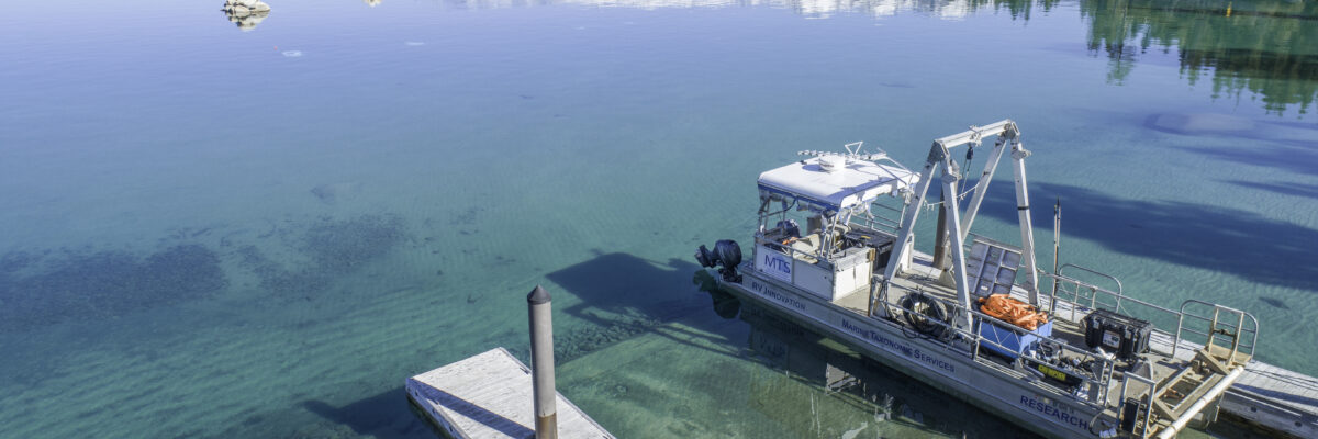
Through its subsidiary, Marine Taxonomic Services, Ltd. (MTS), an environmental consulting firm specializing in marine and aquatic sciences, NV5 has extended its hydrospatial services to the U.S. West Coast. This expansion enhances NV5’s environmental and ecological consulting capabilities and broadens our expertise in marine ecosystems and aquatic resource management.

For more than 40 years, MTS has managed thousands of projects focused on evaluating and protecting natural resources through the collection and interpretation of scientific data. With a project footprint spanning the eastern Pacific from the Arctic to Baja California, as well as the Atlantic, Caribbean, and Gulf of Mexico, MTS strengthens NV5’s ability to support clients across a broad range of marine and freshwater environments.

This expansion further advances NV5’s environmental and ecological capabilities, extending the reach and depth of our services across marine and aquatic environments.

To learn more about Marine Taxonomic Services, visit MarineTaxonomicServices.com.

Should you have any questions, please contact us.

Fill out the form below to download the handbook.

Form #1 - Redirection to PDF

Form #2 - Sends email containing the link to the PDF

"*" indicates required fields

This field is for validation purposes and should be left unchanged.

eNewsletter - NV5 Real Estate Transaction Services

Contact NV5 Real Estate Transaction Services

Download NV5 2022 Compliance Calendar

Please fill out the form below. After successful form submission, you will be redirected to the requested file. Thank you.

"*" indicates required fields

We are an equal opportunity employer. All applicants will be considered for employment without attention to race, color, religion, sex, sexual orientation, gender identity, national origin, veteran or disability status. We ensure nondiscrimination in all programs and activities in accordance with Title VI of the United States Civil Rights Act of 1964. If you need more information or special assistance for persons with disabilities or limited English proficiency, contact MaryJo OBrien at (954) 495-2112. Persons with hearing-and speech-impairments can contact the NV5 by using the Virginia Relay Service, a toll-free telecommunication device for the deaf (TDD). Call 711 for TTY/TDD.
This field is hidden when viewing the form
This field is for validation purposes and should be left unchanged.

Hyperspectral Imaging - Technically Speaking

Our internal innovation and development team constantly analyzes new technology and develops solutions to meet our client’s challenges. Our Technically Speaking series is one way we share our technical findings with the professional community. 

Please tell us a little about yourself by filling out the form below, and we’ll share the document with you, thanks!

Accuracy Part 1- Technically Speaking

Our internal innovation and development team constantly analyzes new technology and develops solutions to meet our client’s challenges. Our Technically Speaking series is one way we share our technical findings with the professional community. 

Please tell us a little about yourself by filling out the form below, and we’ll share the document with you, thanks!

Prune Optimization Webinar Recording

NV5 Geospatial releases a new predictive modeling platform for vegetation management that uses existing lidar and historical data to identify the relative level of asset risk from trees by quantifying the potential for causing asset damage. 

Please tell us a little about yourself by filling out the form below, and we’ll share the document with you, thanks!

Topobathy Lidar - Technically Speaking

Our internal innovation and development team constantly analyzes new technology and develops solutions to meet our client’s challenges. Our Technically Speaking series is one way we share our technical findings with the professional community. 

Please tell us a little about yourself by filling out the form below, and we’ll share the document with you, thanks!

Contact Geospatial

Contact Geospatial