Find your way with NV5 Geospatial’s data analysis for oversize freight transport. View Flyer
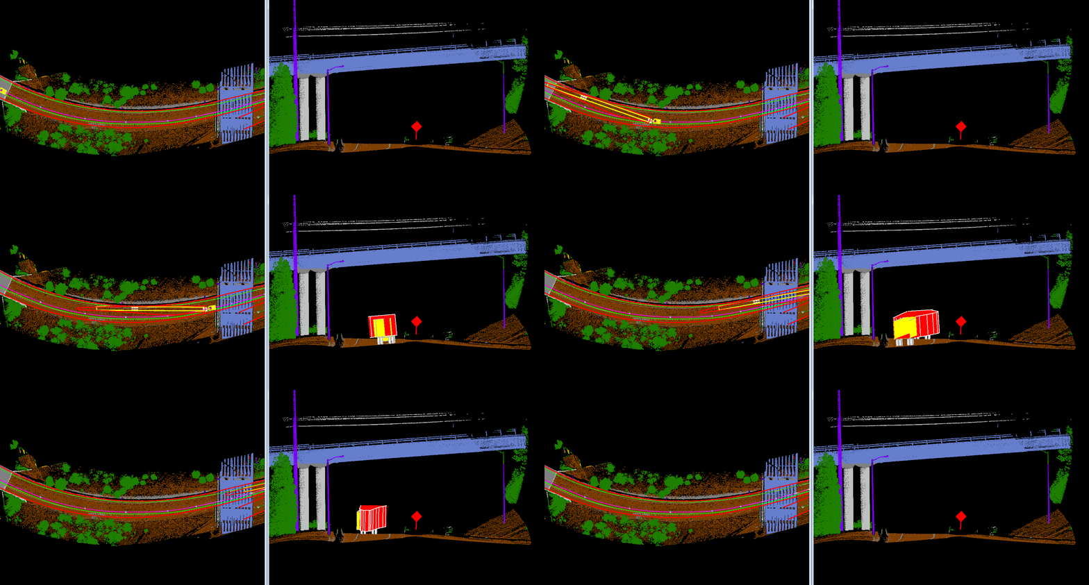
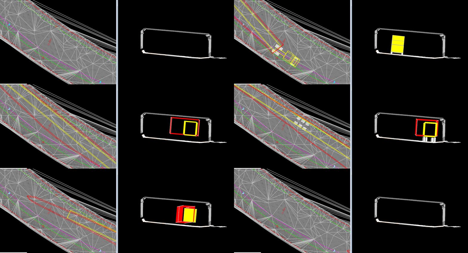
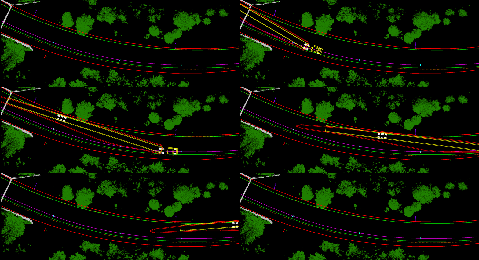
NV5 Geospatial uses lidar to perform three-dimensional swept path clearance analysis for roads, bridges, tunnels, and other transportation infrastructure elements.
Analysis is performed to determine if the oversize freight will be able to navigate a proposed route without conflict. These types of analysis are performed to validate as-built dimensions and support the Department of Transportation who assess routes using two dimensional drawings and cross sections.
Analysis is performed to determine if the oversize freight will be able to navigate a proposed route without conflict. These types of analysis are performed to validate as-built dimensions and support the Department of Transportation who assess routes using two-dimensional drawings and cross sections.


In addition to hard surfaces, an up-to-date lidar capture of the proposed route can reveal newly developed vegetation encroachments and other more dynamic elements found on routes across the country.
• Data Acquisition
• Lidar Classification
• Digitization of road markings/path limits
• 3D Road & Surface Models
• Vehicle & Load Modeling
• 2D swept path analysis using lidar rectified road limits
• Autoturn 3 Dimensional swept path analysis using lidar-generated surface models

