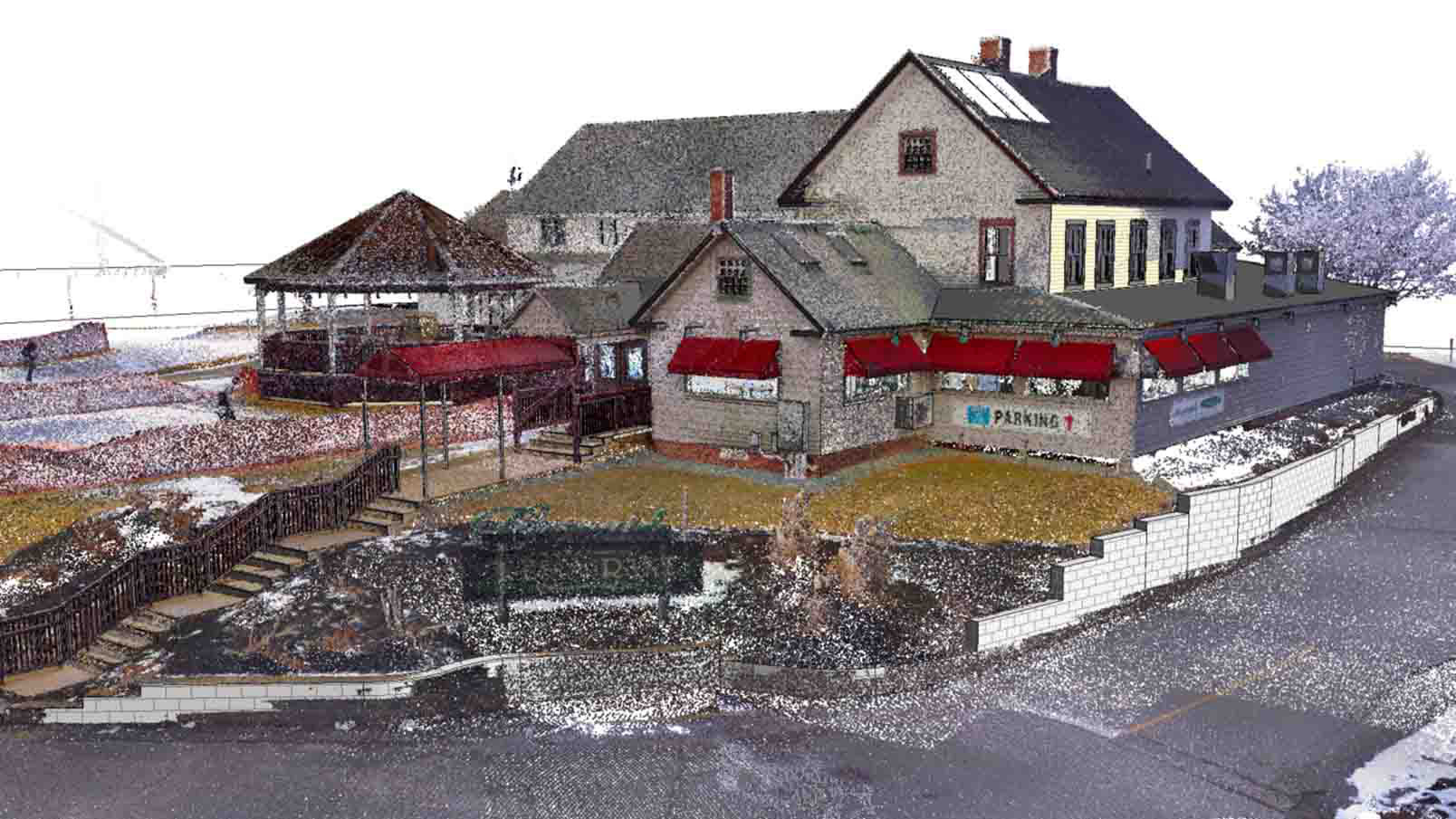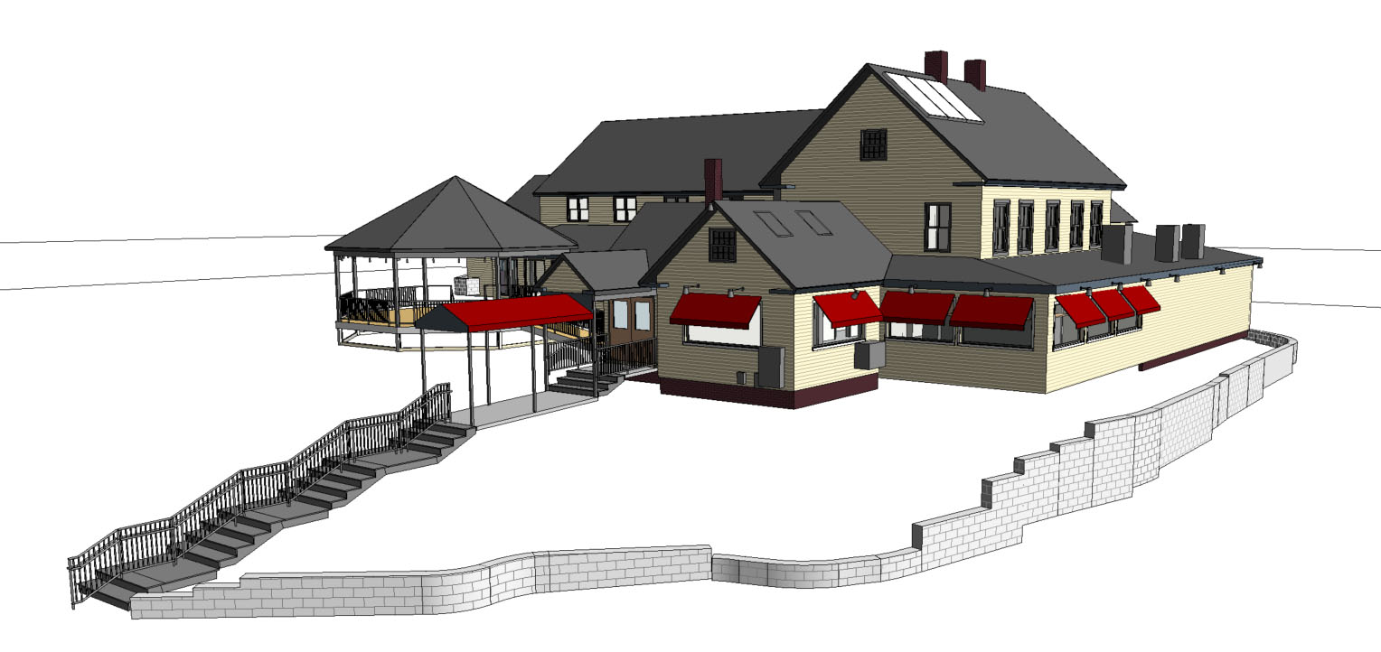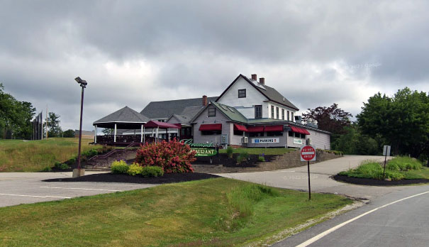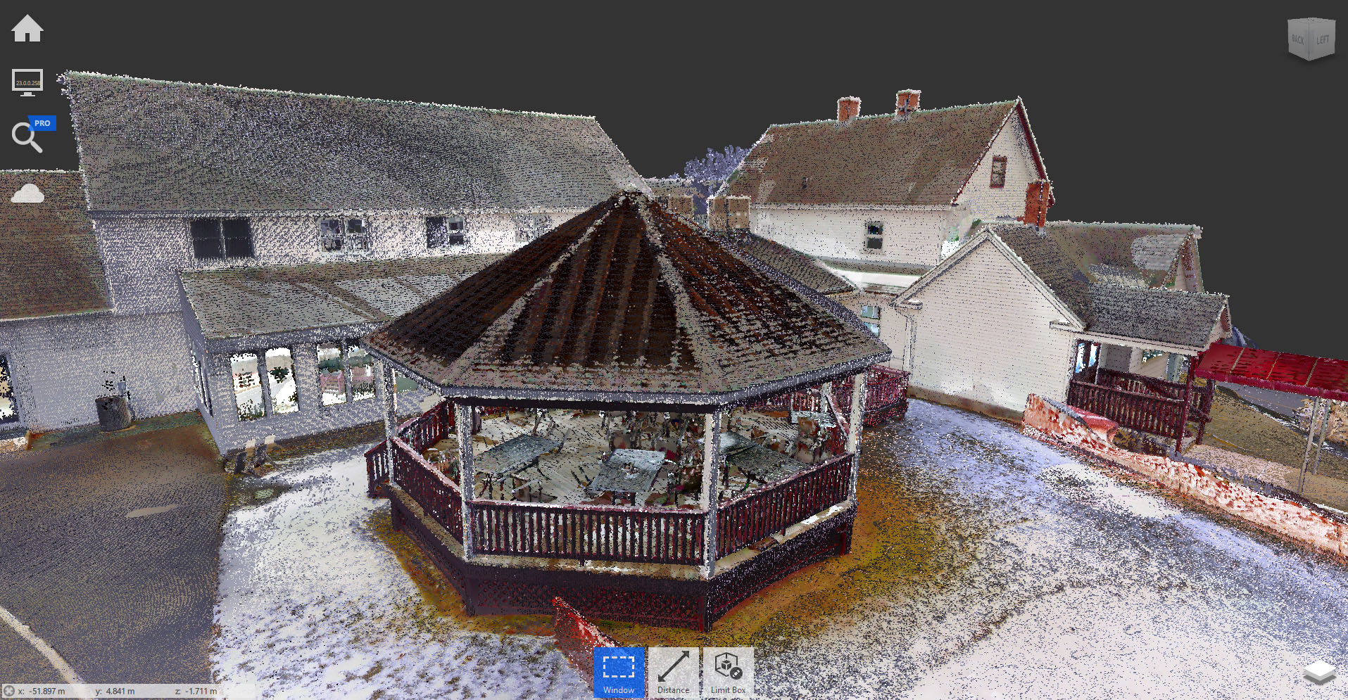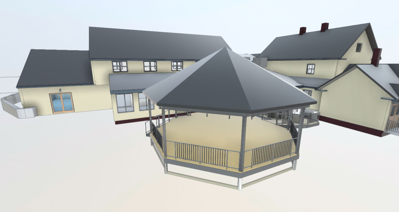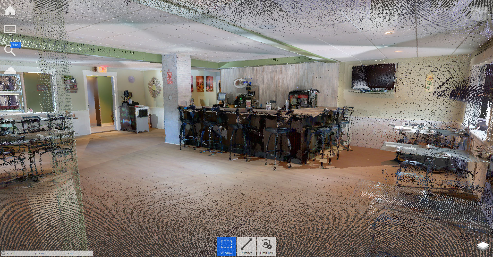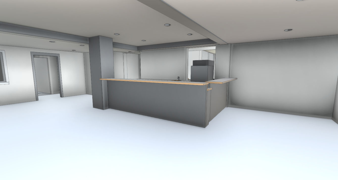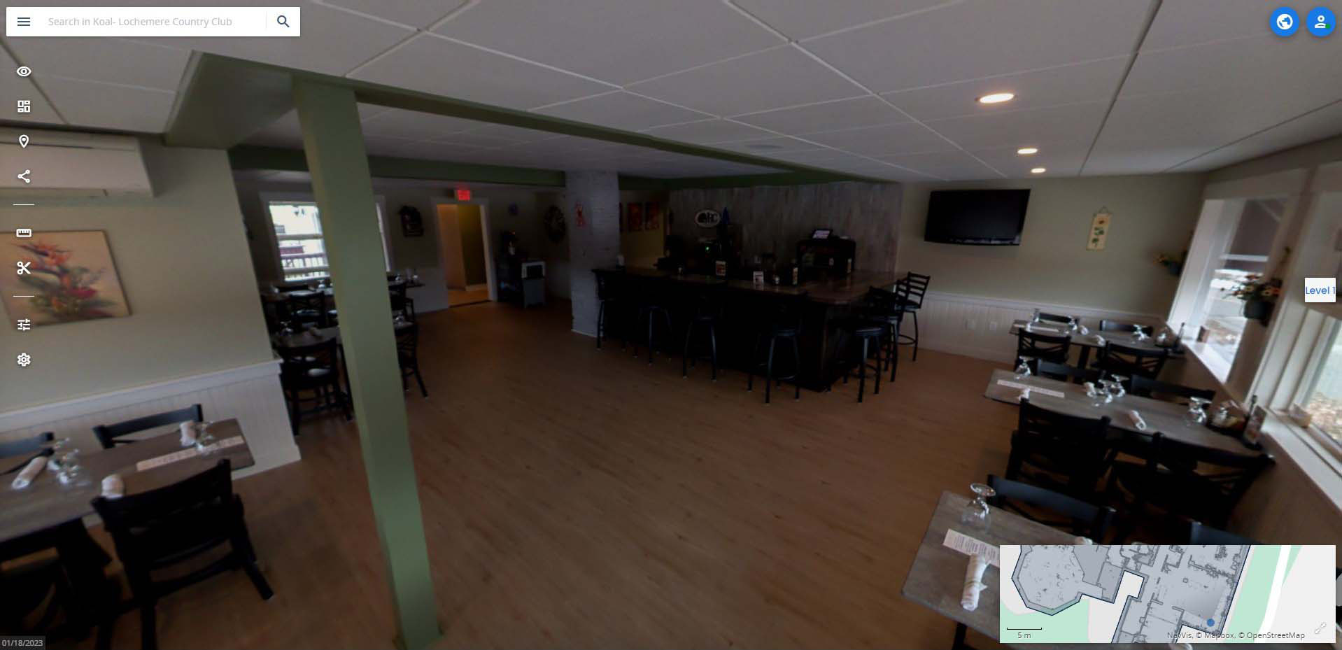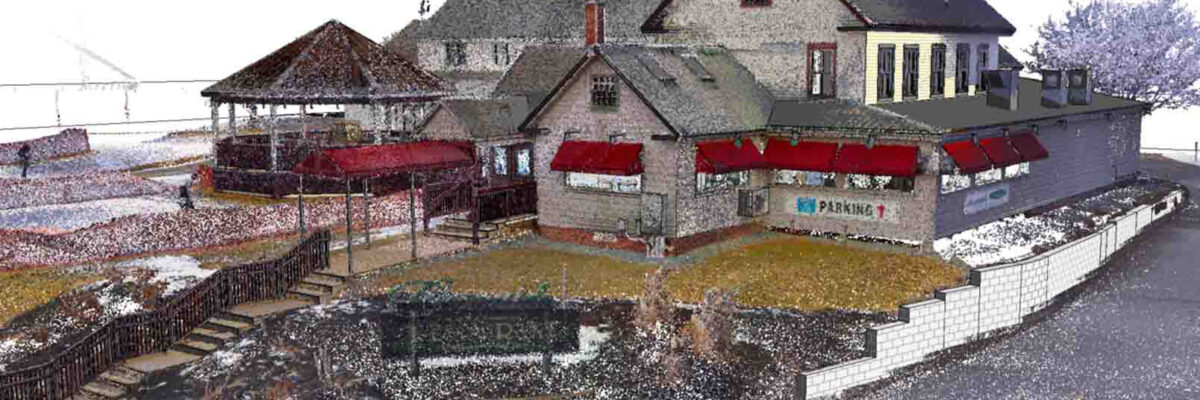
Our team completed a this reality capture and modeling project using a combination of terrestrial and aerial scanning technologies. The scope included both interior and exterior documentation, completed in a single day.
Using the NavVis VLX mobile scanner and DJI Phantom 4 Pro drone, we captured high-resolution spatial data to support planning, renovation, and visualization efforts. Scanning was conducted during off-peak hours to minimize disruption to operations and visitors.