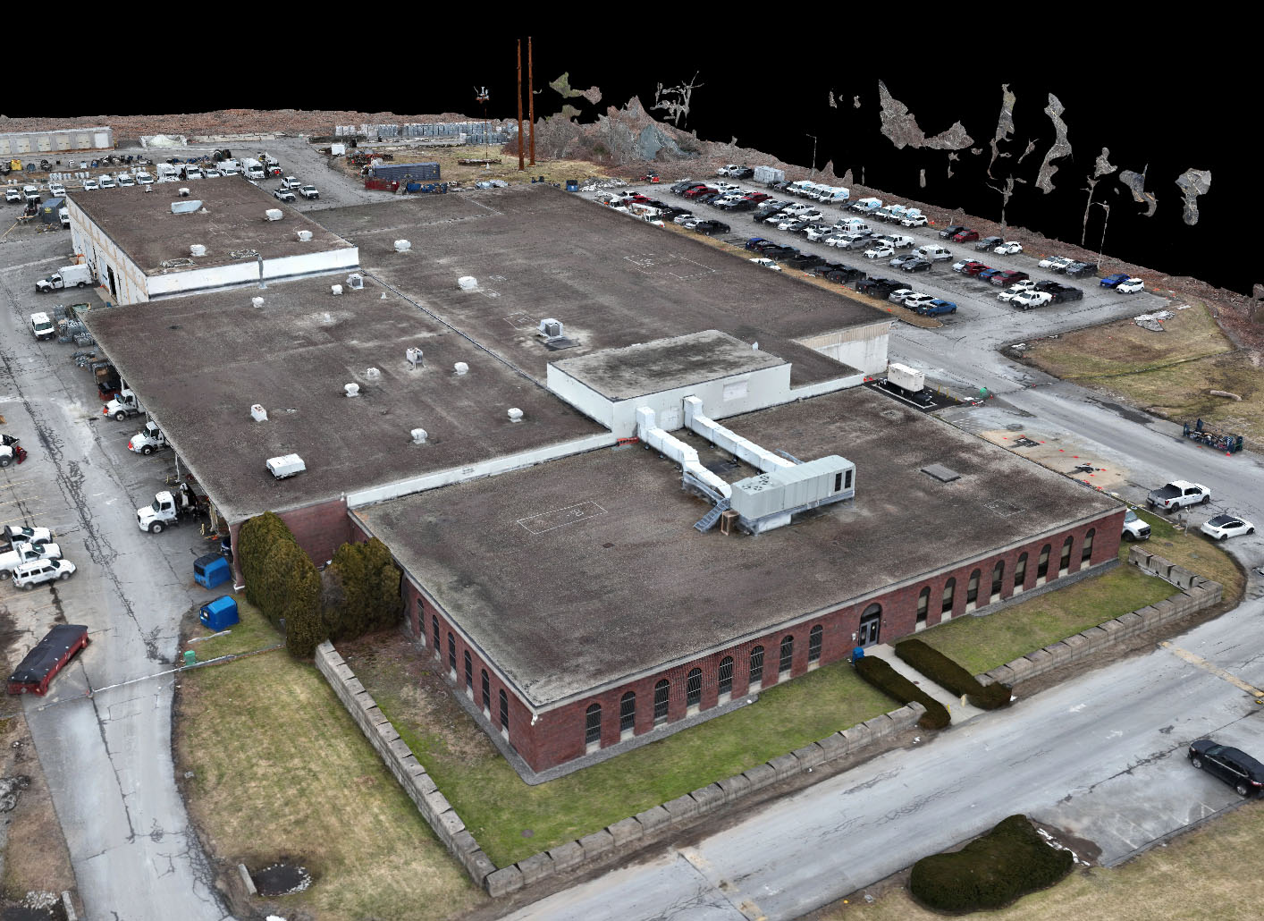
NV5 partnered with a regional energy provider to document existing conditions across nine active utility and administrative sites. The project supported architectural assessments, space planning, and future renovations by delivering high-precision digital records of each facility.
A key challenge was coordinating access to secure and occupied buildings across multiple locations. NV5 worked closely with the client’s architectural partner to schedule escorted entry, minimize disruption to operations, and ensure complete coverage of high-security and high-traffic areas.
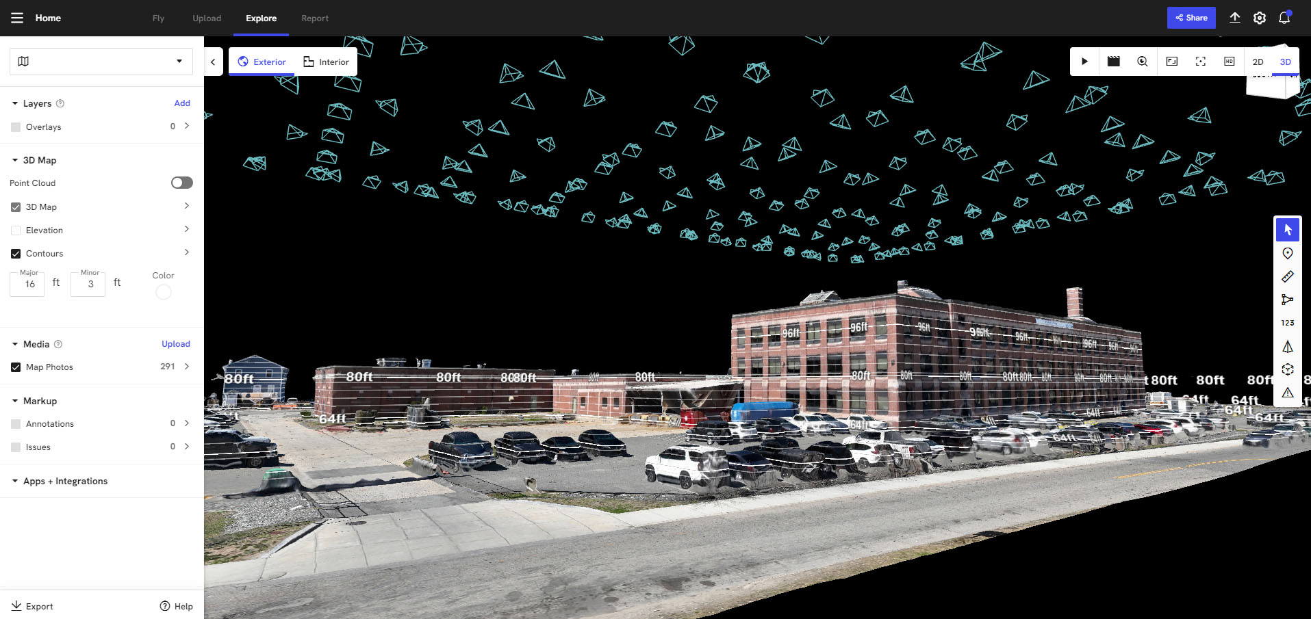
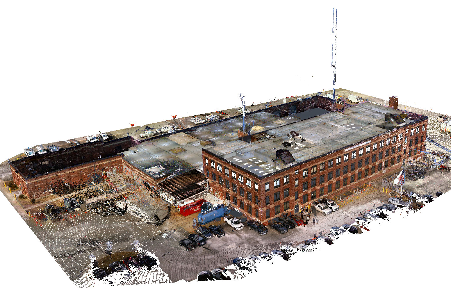
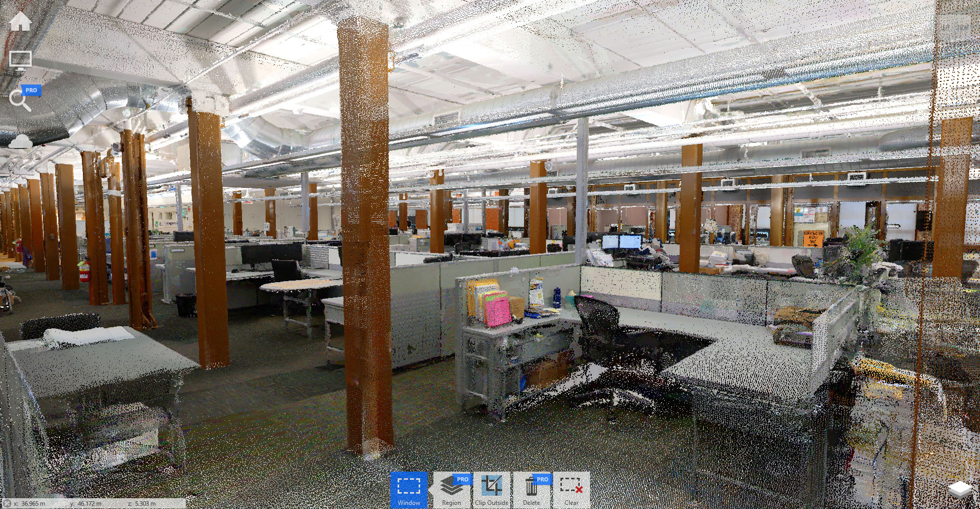
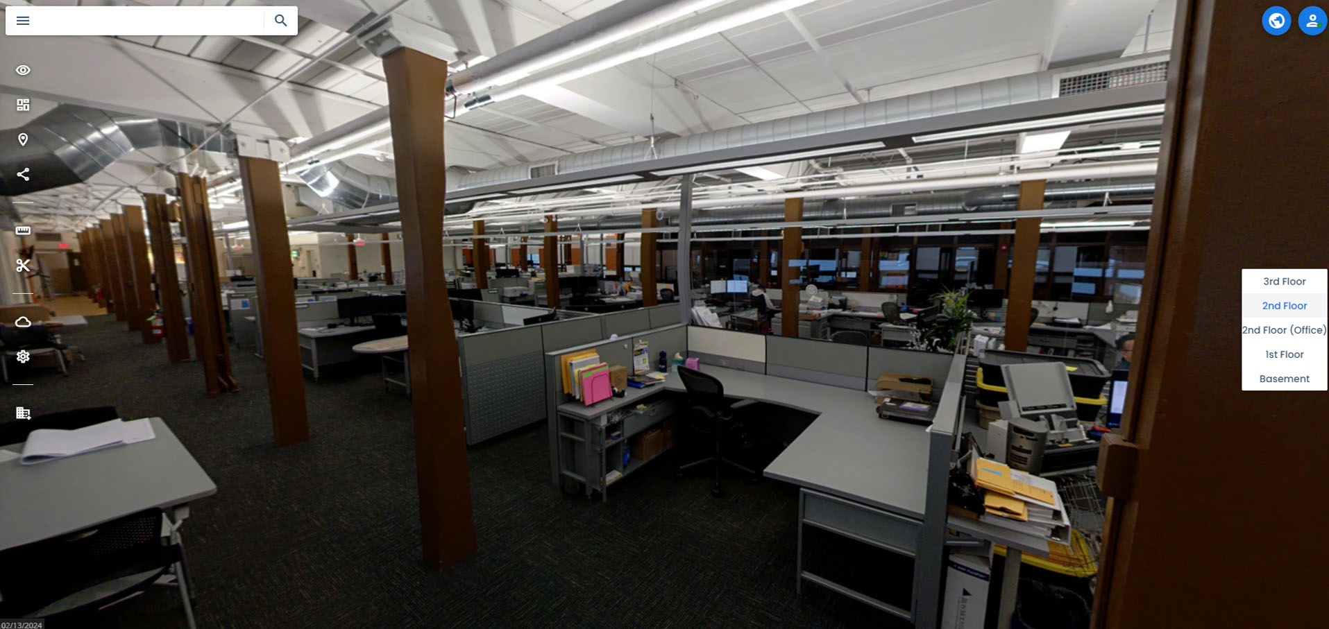
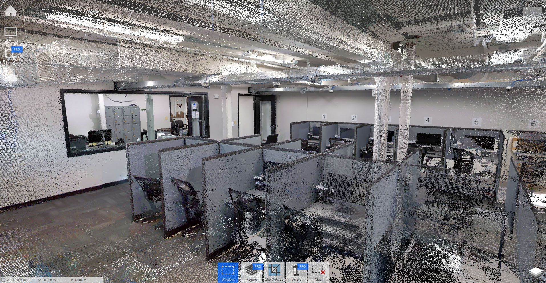
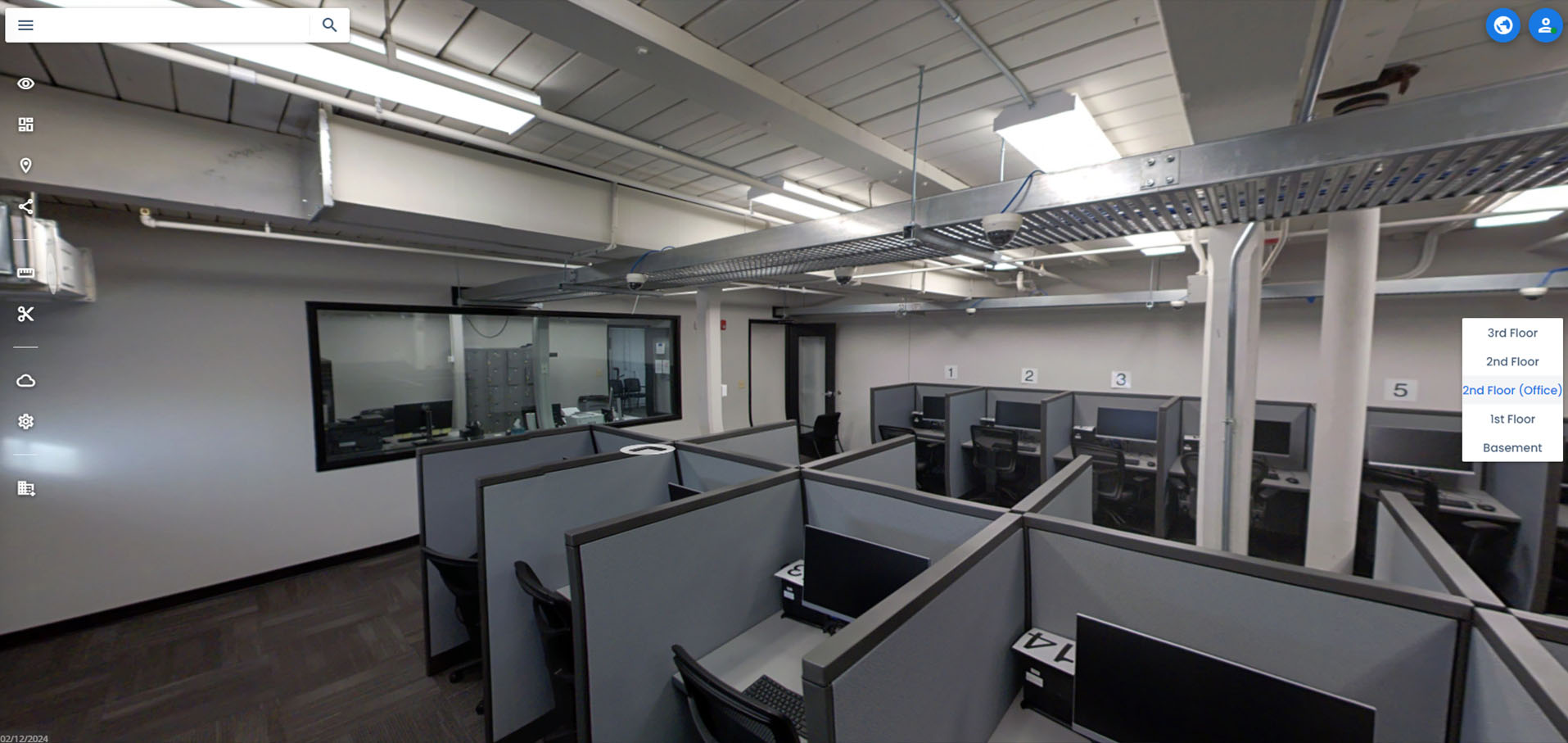
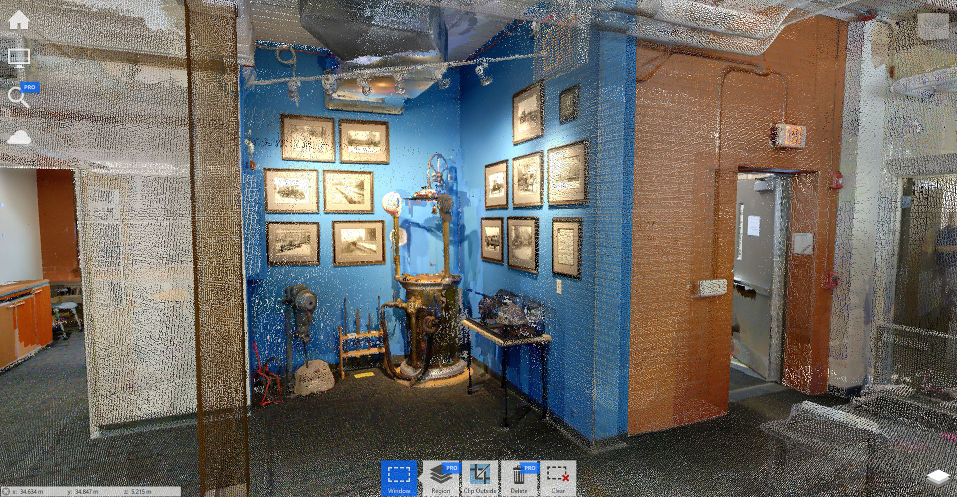
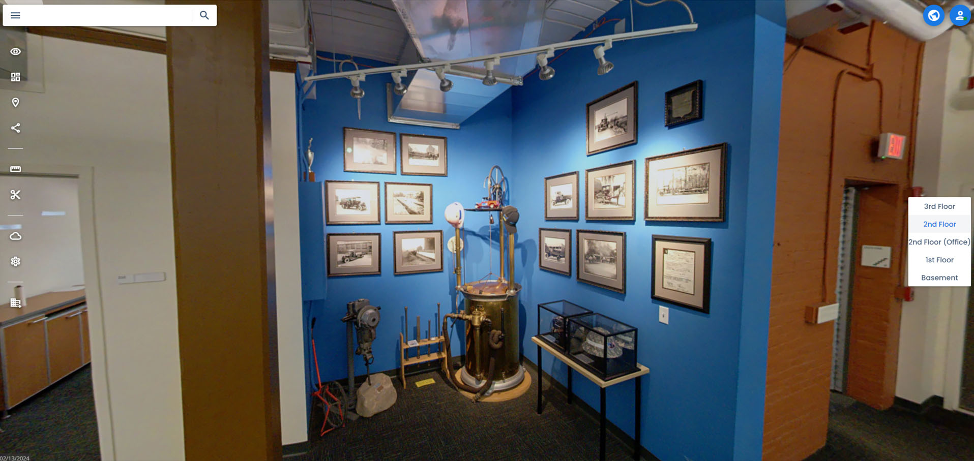
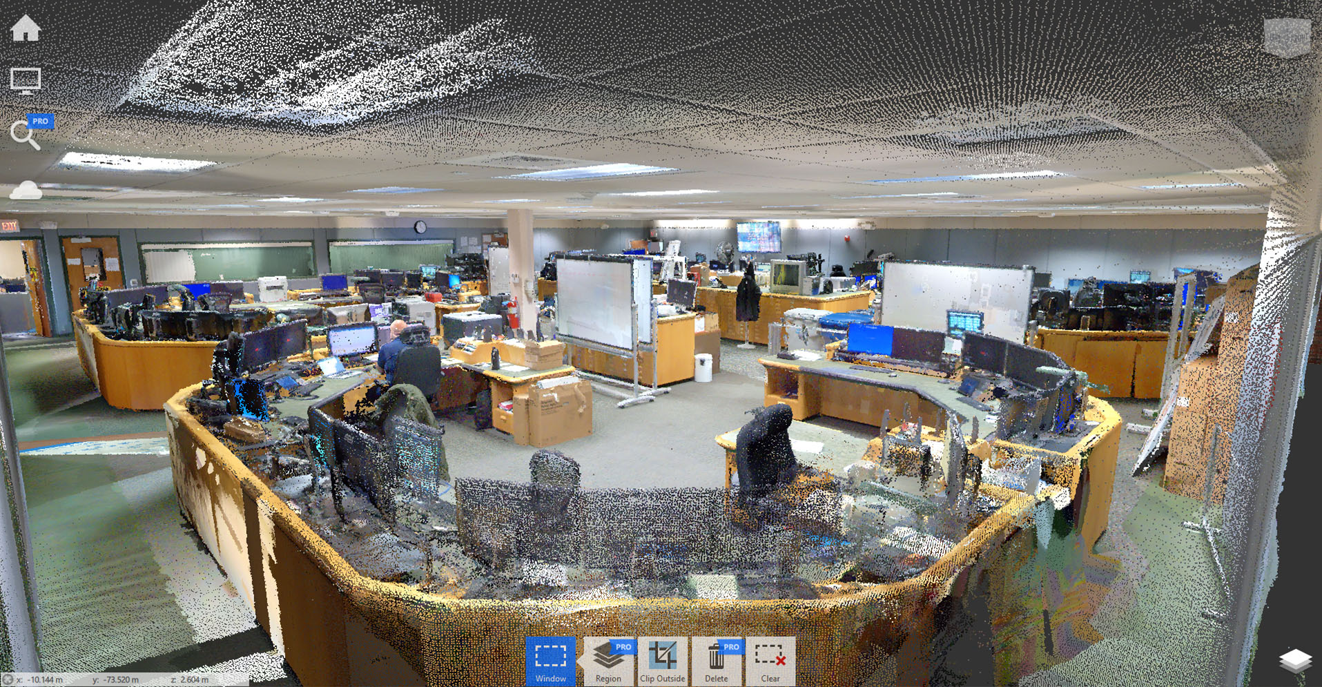
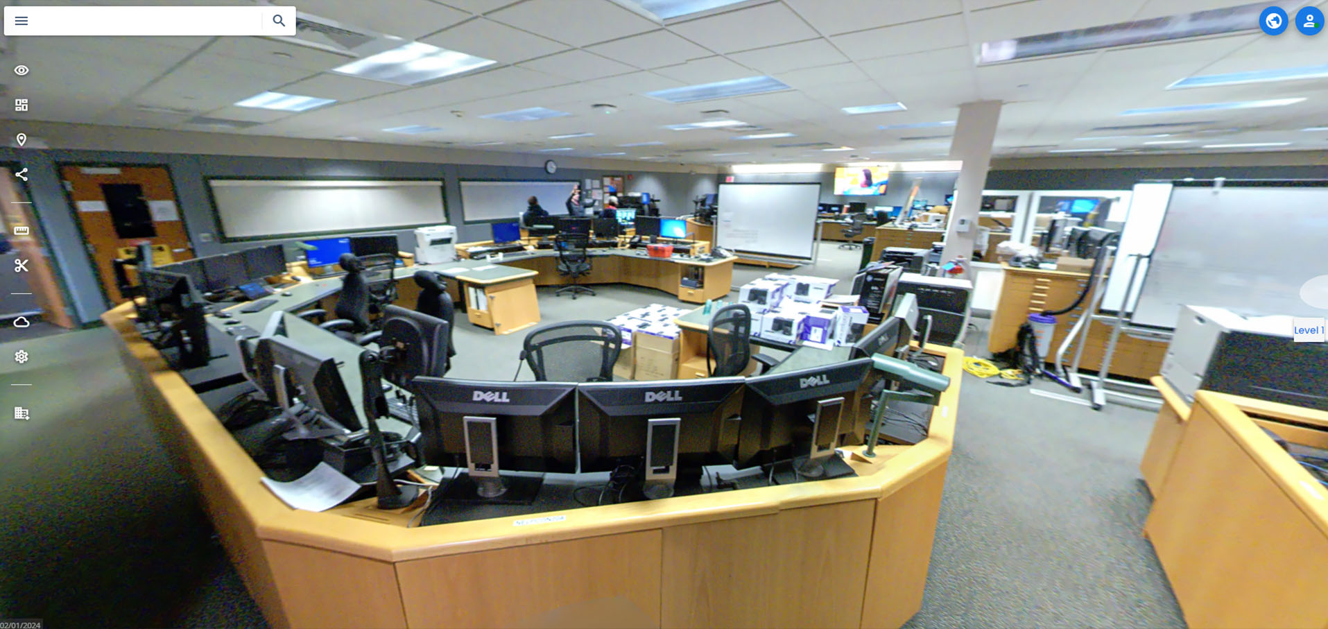
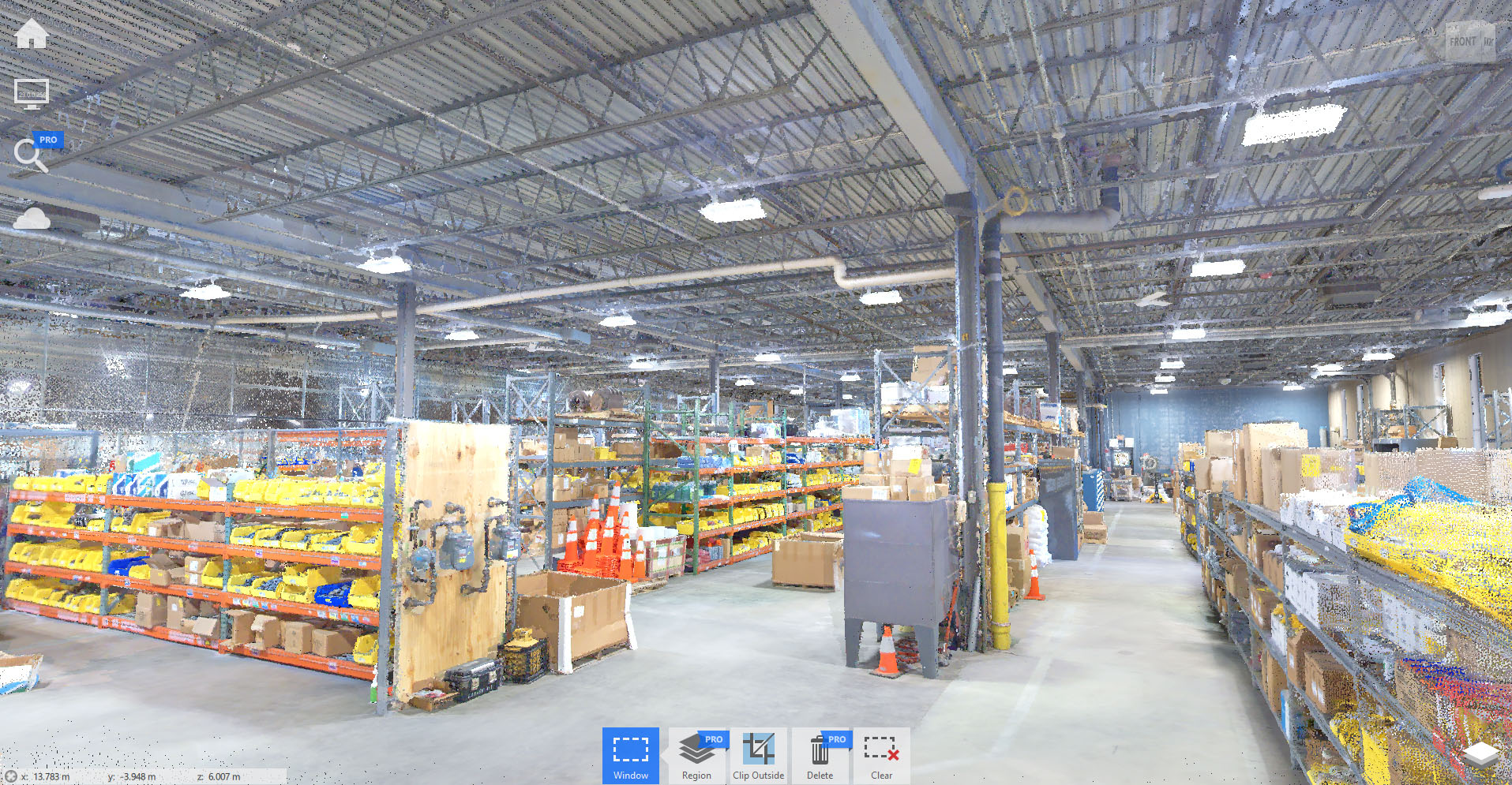
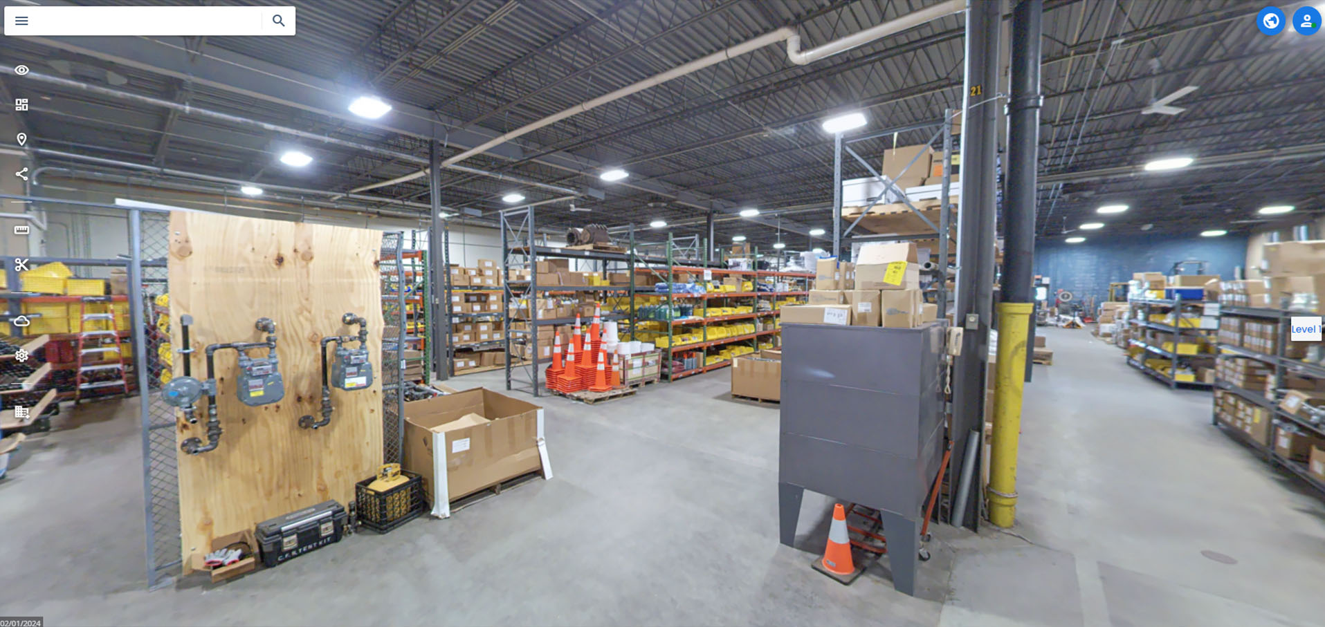
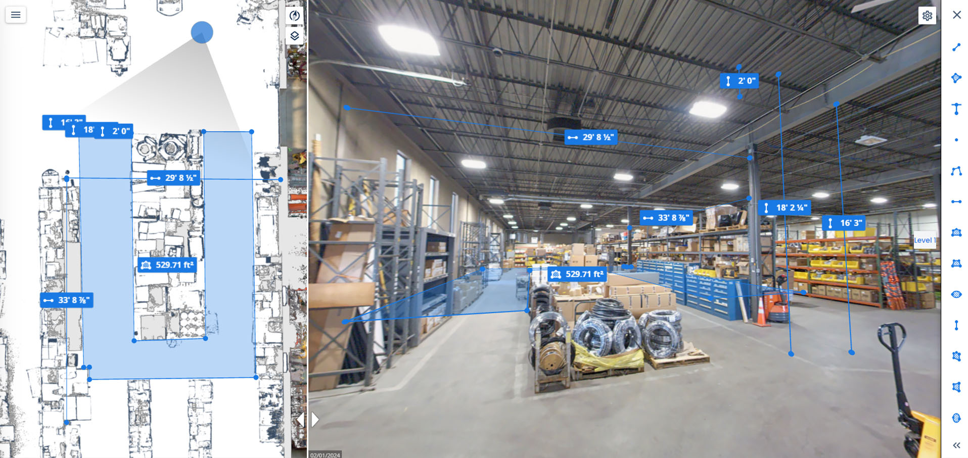
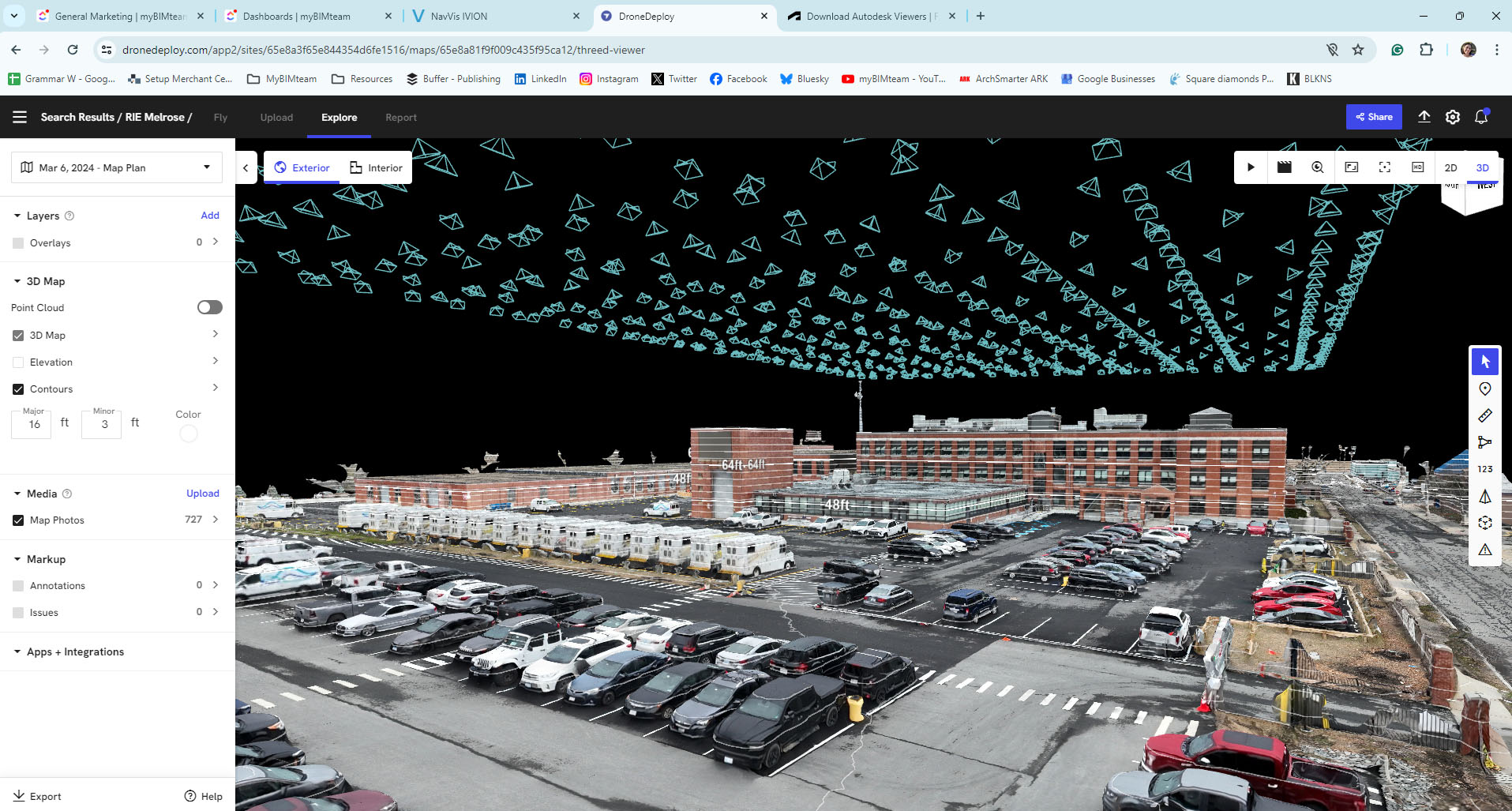
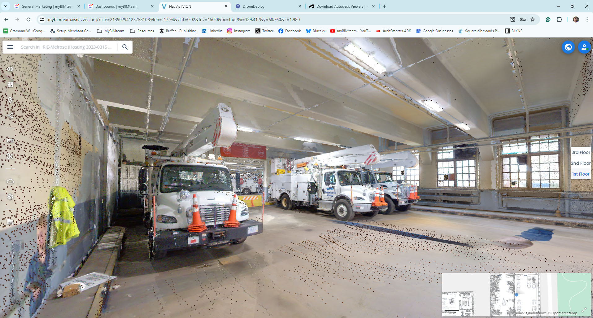
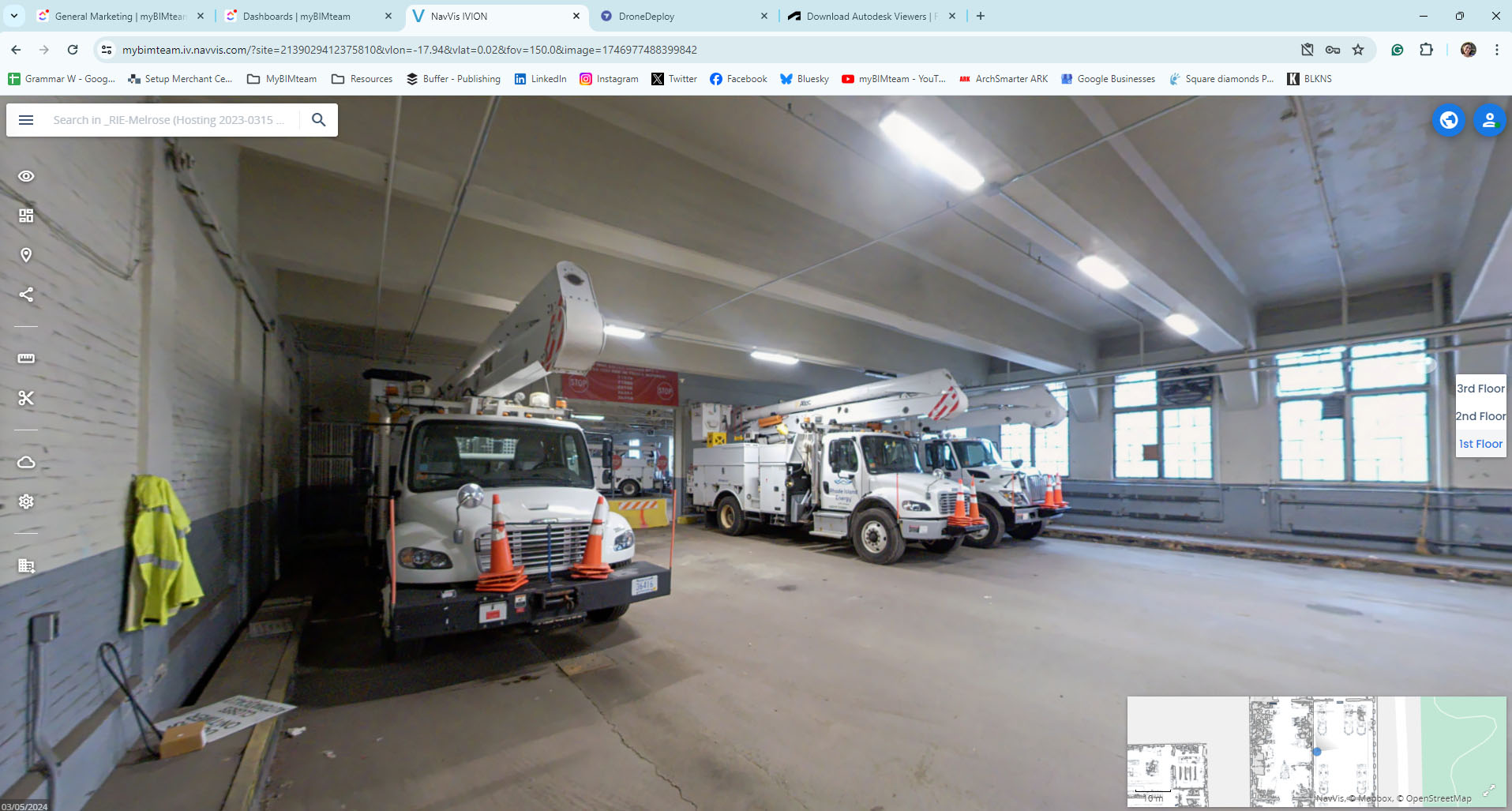
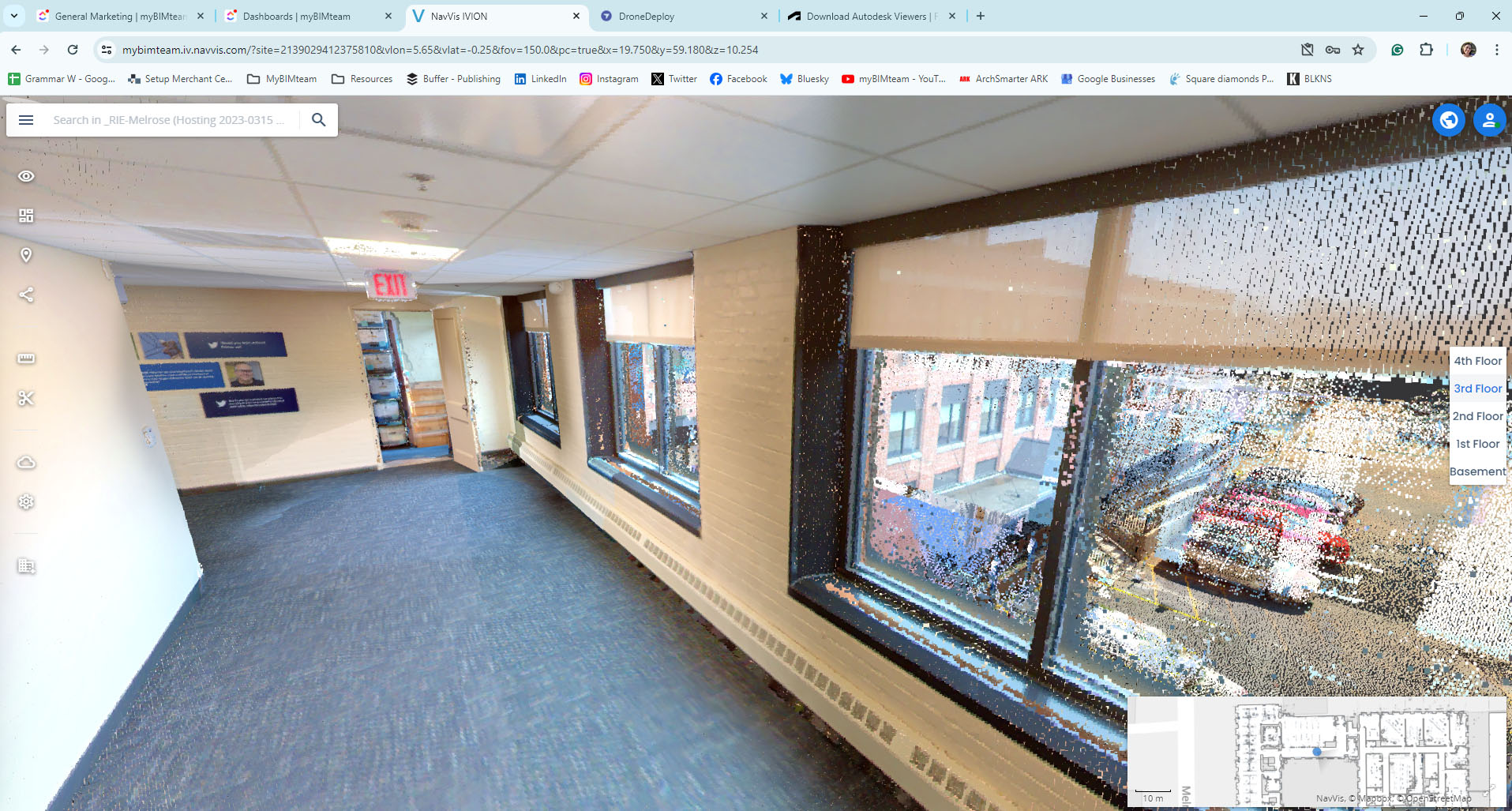
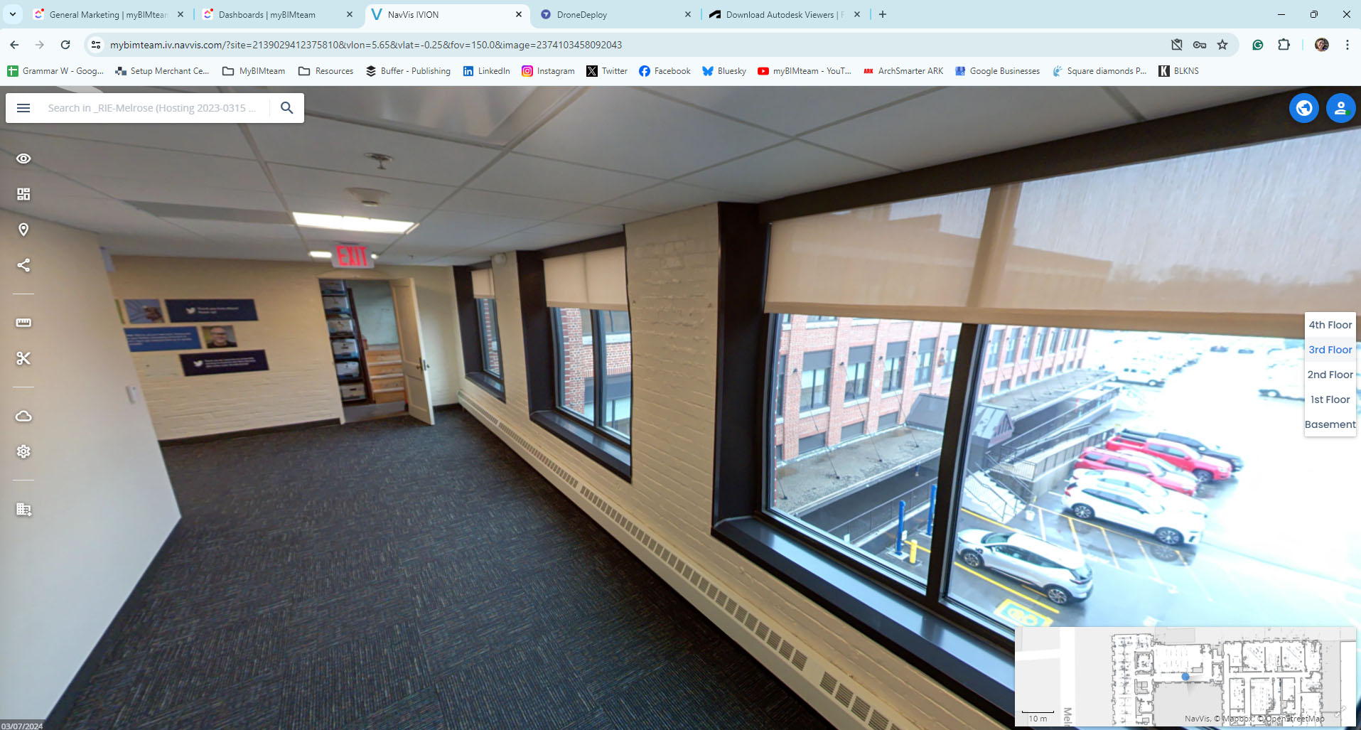
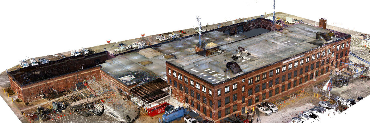
The team deployed the NavVis VLX 3 mobile scanner to capture interior spaces—including offices, data rooms, maintenance areas, vehicle bays, and open storage—and used the DJI Mavic 3E drone to gather detailed aerial imagery. Deliverables included Autodesk Recap point clouds, web-based NavVis Ivion virtual tours for remote exploration, and DroneDeploy aerial maps and models.