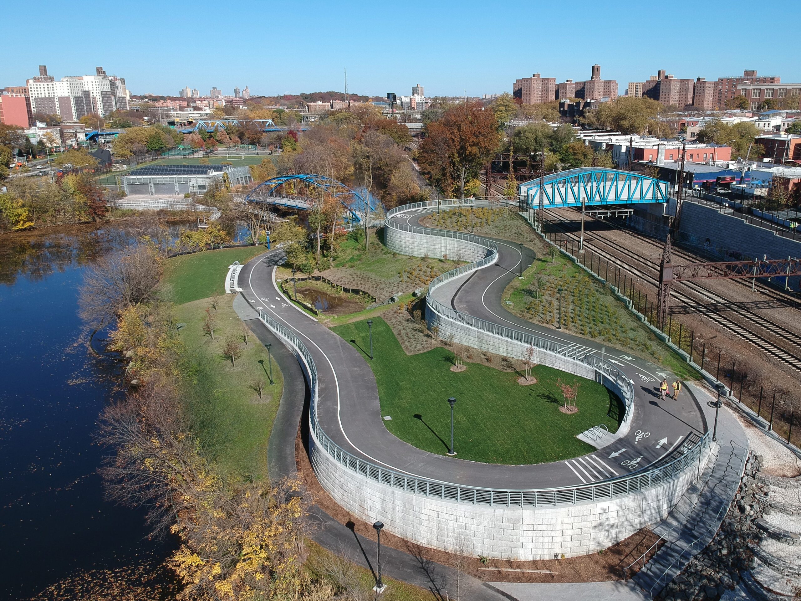
NV5 landscape architects create high-performing environments that are beautiful, safe, inviting, multi-functional, universally accessible, and resilient.
Our collaborative approach illuminates the richness of places, fostering healthy connections between people and their environment. We meticulously craft landscapes with attention to detail, preserving ecological integrity.
Each project is approached with humility, sensitivity, and originality, aiming to connect people with their past, culture, and future. Understanding client needs, we strive to deliver timeless works of landscape architecture.
Landscape Architecture & Urban Design Work
Fill out the form below to download the handbook.
"*" indicates required fields
Please fill out the form below. After successful form submission, you will be redirected to the requested file. Thank you.
"*" indicates required fields
Our internal innovation and development team constantly analyzes new technology and develops solutions to meet our client’s challenges. Our Technically Speaking series is one way we share our technical findings with the professional community.
Please tell us a little about yourself by filling out the form below, and we’ll share the document with you, thanks!
NV5 Geospatial releases a new predictive modeling platform for vegetation management that uses existing lidar and historical data to identify the relative level of asset risk from trees by quantifying the potential for causing asset damage.
Please tell us a little about yourself by filling out the form below, and we’ll share the document with you, thanks!
Our internal innovation and development team constantly analyzes new technology and develops solutions to meet our client’s challenges. Our Technically Speaking series is one way we share our technical findings with the professional community.
Please tell us a little about yourself by filling out the form below, and we’ll share the document with you, thanks!