Services

Surveying & Mapping

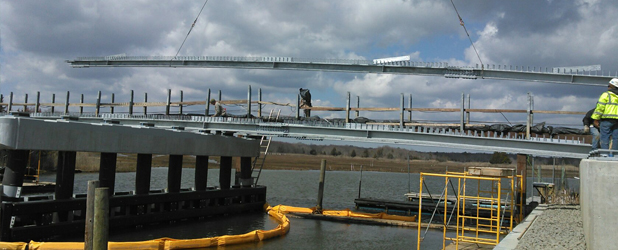
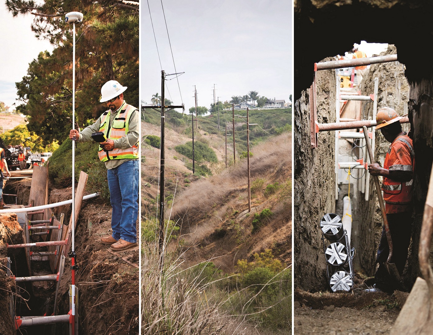
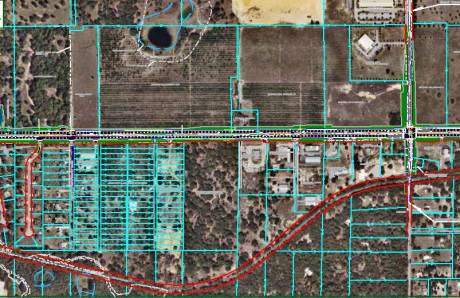
The foundation of any successful project begins with understanding the land. From elevation and boundary assessments to environmental impact evaluations and underground utility mapping, accurate surveying and geospatial data are essential for informed decision-making.

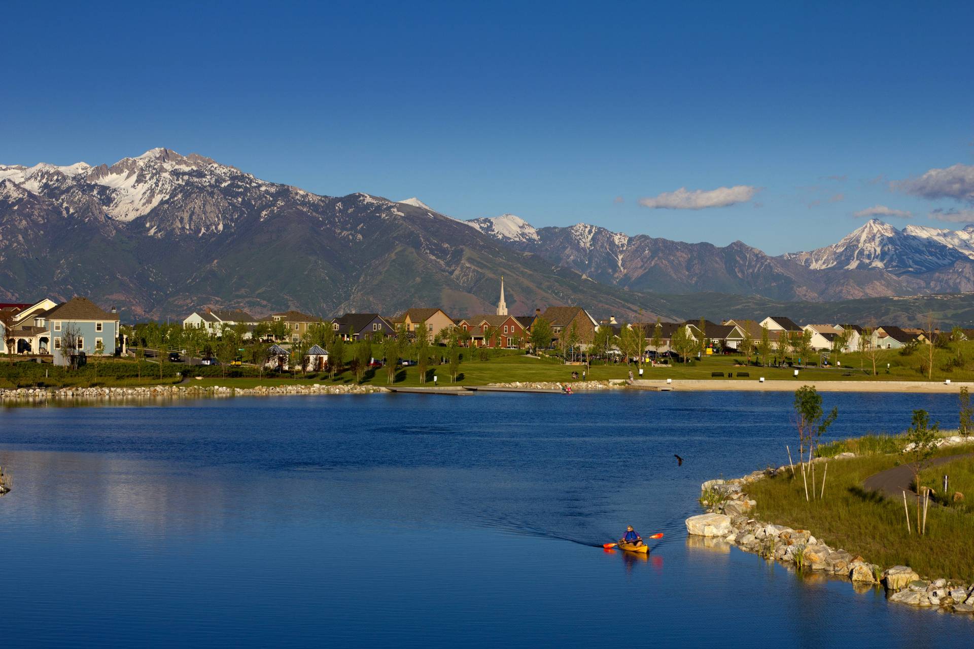
NV5’s expert surveyors and geospatial specialists work across diverse environments, including deserts, rivers, mountains, and urban infrastructure. Their high-precision data minimizes errors and enhances project outcomes.

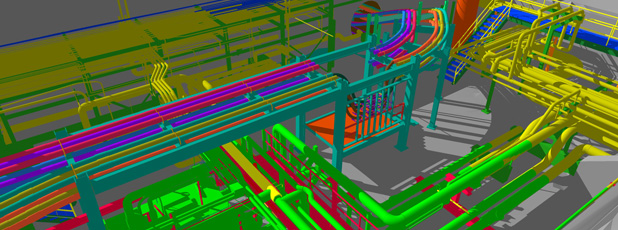
As a national leader in geospatial data, we utilize cutting-edge technologies, including lidar, topobathy, orthoimagery, hyperspectral imaging, and high-definition scanning (HDS). Our advanced drones, aircraft, robotics, and mobile data collection tools ensure accuracy and efficiency.

Comprehensive Land Surveying & Mapping Solutions

NV5 provides cost-effective, high-precision land surveying and mapping services for land acquisition, site development, real estate, construction projects, transportation infrastructure, and environmental assessments. Our experienced surveyors collaborate with government agencies, municipalities, commercial developers, healthcare institutions, and engineering firms to deliver tailored solutions that align with project requirements and community impact.

With decades of expertise in design & topographic survey mapping, ALTA/NSPS land title surveys, subsurface utility investigation, and aerial mapping, NV5 integrates the latest geospatial technology to ensure accuracy, efficiency, and regulatory compliance.

Why Choose NV5 Surveying & Mapping Services?

  • Industry-leading accuracy & technology
    Advanced GIS, lidar, HDS, and AI-powered analytics enhance precision and efficiency.
  • Comprehensive solutions
    From boundary surveys to infrastructure planning, our services support projects of all scales.
  • Regulatory & compliance expertise
    We ensure adherence to local, state, and federal standards, reducing risk and delays.
  • Proven track record
    Trusted by municipalities, developers, and engineering firms for reliable data and insights.

Unlock the full potential of your project with NV5’s surveying and mapping expertise.

Expertise

  • 3D Laser Scanning & Digital Twin Development
  • Aerial Mapping & Photogrammetry
  • ALTA/NSPS Land Title Surveys
  • As-Built / Record Surveys
  • Boundary Surveys
  • Construction Layout & Staking
  • Design & Topographic Survey Mapping
  • FEMA Elevation Certificates
  • GIS Applications for Geospatial Analysis
  • High-Definition Scanning (HDS) & Lidar Surveying
  • Hydrographic & Coastal Surveys
  • Plating, Lot Design & Legal Description Preparation
  • Stockpile Volume Reports & Earthwork Analysis
  • Subsurface Utilities Location (SUE)
  • Topographic & Tree Surveys
  • Underground Utility Location & Mapping
  • Wetland & Environmental Surveys

Fill out the form below to download the handbook.

Form #1 - Redirection to PDF

Form #2 - Sends email containing the link to the PDF

"*" indicates required fields

This field is for validation purposes and should be left unchanged.

eNewsletter - NV5 Real Estate Transaction Services

Contact NV5 Real Estate Transaction Services

Download NV5 2022 Compliance Calendar

Please fill out the form below. After successful form submission, you will be redirected to the requested file. Thank you.

"*" indicates required fields

We are an equal opportunity employer. All applicants will be considered for employment without attention to race, color, religion, sex, sexual orientation, gender identity, national origin, veteran or disability status. We ensure nondiscrimination in all programs and activities in accordance with Title VI of the United States Civil Rights Act of 1964. If you need more information or special assistance for persons with disabilities or limited English proficiency, contact MaryJo OBrien at (954) 495-2112. Persons with hearing-and speech-impairments can contact the NV5 by using the Virginia Relay Service, a toll-free telecommunication device for the deaf (TDD). Call 711 for TTY/TDD.
This field is hidden when viewing the form
This field is for validation purposes and should be left unchanged.

Hyperspectral Imaging - Technically Speaking

Our internal innovation and development team constantly analyzes new technology and develops solutions to meet our client’s challenges. Our Technically Speaking series is one way we share our technical findings with the professional community. 

Please tell us a little about yourself by filling out the form below, and we’ll share the document with you, thanks!

Accuracy Part 1- Technically Speaking

Our internal innovation and development team constantly analyzes new technology and develops solutions to meet our client’s challenges. Our Technically Speaking series is one way we share our technical findings with the professional community. 

Please tell us a little about yourself by filling out the form below, and we’ll share the document with you, thanks!

Prune Optimization Webinar Recording

NV5 Geospatial releases a new predictive modeling platform for vegetation management that uses existing lidar and historical data to identify the relative level of asset risk from trees by quantifying the potential for causing asset damage. 

Please tell us a little about yourself by filling out the form below, and we’ll share the document with you, thanks!

Topobathy Lidar - Technically Speaking

Our internal innovation and development team constantly analyzes new technology and develops solutions to meet our client’s challenges. Our Technically Speaking series is one way we share our technical findings with the professional community. 

Please tell us a little about yourself by filling out the form below, and we’ll share the document with you, thanks!

Contact Geospatial

Contact Geospatial