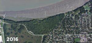
Journey through history with time-lapse imagery of Earthquake Park
Quantum Spatial owns a rich collectioin of aerial imagery and other remote sensing data. Learn more HERE March 27th marks the anniversary of the world’s second most

Quantum Spatial owns a rich collectioin of aerial imagery and other remote sensing data. Learn more HERE March 27th marks the anniversary of the world’s second most
In celebration of National Surveyors Week, we’re spotlighting some of our dedicated surveyors and sharing their insights of a survey career. If you are interested
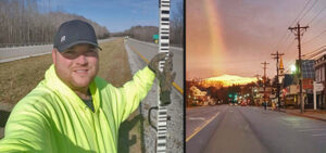
In celebration of National Surveyors Week, we’re spotlighting some of our dedicated surveyors and sharing their insights of a survey career. If you are interested
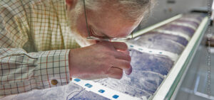
If you… 1.Watch TV 2.Live in Alaska 3.Identify as a ‘morning person’ …then you may be familiar with Alaska Channel 11 KTVA’s Workforce Wednesday, a segment
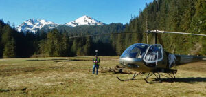
In celebration of National Surveyors Week, we’re spotlighting some of our dedicated surveyors and sharing their insights of a survey career. If you are interested in

March 13th marks the 80th anniversary of Amelia’s first attempt to circumvent the world. While much focus is put on what may or may not

Are you interested in images from the golden age of flight, featuring groundbreaking aircraft and aviators like Amelia Earhart, Howard Hughes and Charles Lindbergh? Maybe
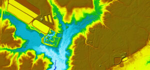
The American landscape changes constantly. Rapid land development and environmental forces make outdated elevation data irrelevant for current analysis. Advances in technology have exposed inaccuracies
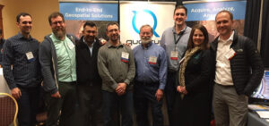
Quantum Spatial is at the Alaska Survey and Mapping Conference in Anchorage. We are excited to share some of our recent work in remote sensing

Quantum Spatial, Inc. the nation’s largest independent geospatial data firm, will showcase its leadership in use of next-generation sensors to support wide-area programs, such as
Fill out the form below to download the handbook.
"*" indicates required fields
Please fill out the form below. After successful form submission, you will be redirected to the requested file. Thank you.
"*" indicates required fields
Our internal innovation and development team constantly analyzes new technology and develops solutions to meet our client’s challenges. Our Technically Speaking series is one way we share our technical findings with the professional community.
Please tell us a little about yourself by filling out the form below, and we’ll share the document with you, thanks!
NV5 Geospatial releases a new predictive modeling platform for vegetation management that uses existing lidar and historical data to identify the relative level of asset risk from trees by quantifying the potential for causing asset damage.
Please tell us a little about yourself by filling out the form below, and we’ll share the document with you, thanks!
Our internal innovation and development team constantly analyzes new technology and develops solutions to meet our client’s challenges. Our Technically Speaking series is one way we share our technical findings with the professional community.
Please tell us a little about yourself by filling out the form below, and we’ll share the document with you, thanks!