NV5 Geospatial’s Ian Berdie was recently a guest on the Data Management Podcast to discuss the practicality and use of geospatial engineering and lidar. To listen to the podcast and hear what the other guests had to contribute, click the link below! View Webinar
Read NV5 Geospatial’s Ian Berdie’s three trends that will reshape use of remote sensing over the next five years at GIS Lounge. “Remote” took on a new meaning as COVID-19 reached pandemic proportions. It quickly became the way we learned, interacted, shopped and worked in an effort to protect ourselves[...]
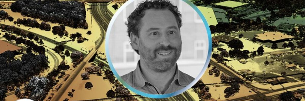
Zpryme’s Dylan Lockwood speaks with Ian Berdie, Vice President of Innovation and Development at NV5 Geospatial and LCRA’s Garret Thompson about improving outcomes via geospatial analytics for electric utilities. Reliability and resiliency for utilities is typically demonstrated by how quickly they are able to respond to outages and emergencies and[...]
In celebration of International Podcast Day, we’re sharing podcasts where NV5 Geospatial’s expertise shed light on various topics within the industry. From discussions like how lidar provides value to organizations, how the sensors now available are changing data collection, key trends in disaster response, and more. Check them out below![...]
Listen The UAV Podcast discusses how drones and other autonomous vehicles are deployed with lidar sensors to create 3D mapping data and downstream analytics with NV5 Geospatial’s Lukas Fraser. From UAV Podcast: “Lukas Fraser is a lidar Specialist working in the Geospatial Group at NV5. He creates engineering-grade[...]
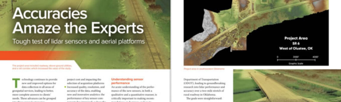
Lidar technology continues to advance, both in terms of sensor hardware and platform deployment. NV5 Geospatial and Oklahoma Department of Transportation performed a series of tests to determine accuracy outcomes from a variety of the leading sensors and platforms for use within a transportation industry context. Mark Meade of NV5[...]
Zpryme On The Grid · Changing Responses to Changing Disasters w/ Ian Berdie Zpryme’s Dylan Lockwood speaks with Ian Berdie, Vice President of Innovation and Development at NV5 Geospatial about disaster response. With climate change affecting the frequency, types, and severity of disasters, how are utilities and the analytics[...]
Form #2 - Sends email containing the link to the PDF
"*" indicates required fields
eNewsletter - NV5 Real Estate Transaction Services
Contact NV5 Real Estate Transaction Services
Download NV5 2022 Compliance Calendar
Please fill out the form below. After successful form submission, you will be redirected to the requested file. Thank you.
"*" indicates required fields
Hyperspectral Imaging - Technically Speaking
Our internal innovation and development team constantly analyzes new technology and develops solutions to meet our client’s challenges. Our Technically Speaking series is one way we share our technical findings with the professional community.
Please tell us a little about yourself by filling out the form below, and we’ll share the document with you, thanks!
Accuracy Part 1- Technically Speaking
Our internal innovation and development team constantly analyzes new technology and develops solutions to meet our client’s challenges. Our Technically Speaking series is one way we share our technical findings with the professional community.
Please tell us a little about yourself by filling out the form below, and we’ll share the document with you, thanks!
Prune Optimization Webinar Recording
NV5 Geospatial releases a new predictive modeling platform for vegetation management that uses existing lidar and historical data to identify the relative level of asset risk from trees by quantifying the potential for causing asset damage.
Please tell us a little about yourself by filling out the form below, and we’ll share the document with you, thanks!
Topobathy Lidar - Technically Speaking
Our internal innovation and development team constantly analyzes new technology and develops solutions to meet our client’s challenges. Our Technically Speaking series is one way we share our technical findings with the professional community.
Please tell us a little about yourself by filling out the form below, and we’ll share the document with you, thanks!