
7 tools for remote Agile development teams to streamline their projects
As Quantum Spatial’s eGIS Practice Lead, Cherie Jarvis has managed Agile development teams comprised of team members lively all across the Unitied States. In SD Times, she

Geospatial data is a foundation of the digital economy
Hosted by DM radio, Quantum Spatial’s Anand Iyer participates in a panel discussion about companies that harness big data to provide solutions to wide-ranging real-world challenges.
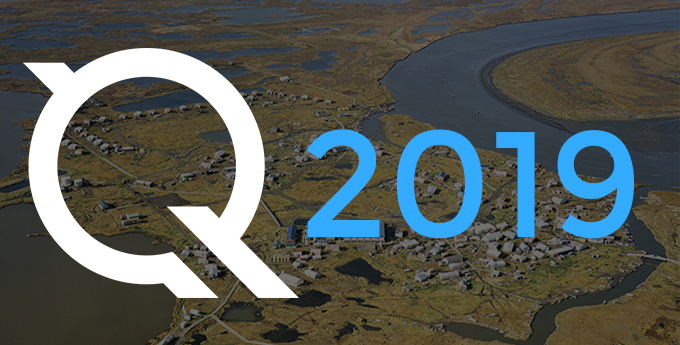
Our 2019 Calendar is available for download
The new year is here, have a downloadable desktop calendar that showcases an amazing view of Kipnuk, Alaska. There are two different image sizes to accommodate variation
Quantum Spatial Wins Two Prestigious MAPPS Excellence Awards
ST. PETERSBURG, Fla., Jan. 29, 2019 (GLOBE NEWSWIRE) — Quantum Spatial, Inc. (QSI), the nation’s largest independent geospatial data firm, this week was presented with two MAPPS
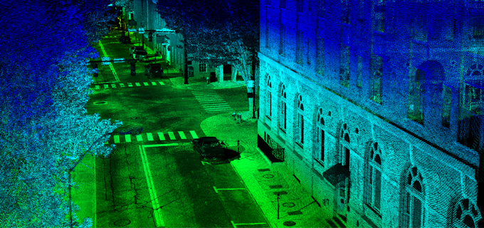
Quantum Spatial to Showcase Advanced terrestrial and bathymetric LiDAR Applications During GeoWeek
Quantum Spatial (QSI), the nation’s largest independent geospatial analytics firm, will showcase its cutting-edge applications for surveying and mapping, using high-resolution topographic and bathymetric LiDAR
Alaska Tribes Employ LiDAR for Insights into Managing Natural Resources
Jim DePasquale, of the Nature Conservancy, shares his experiences of using LiDAR mapping technology in Alaska through the use of USGS’ 3D Elevation Program in Directions Magazine.

Best way to celebrate GIS day? A Quantum Spatial field trip!
Once again, Ms. Caroline Coholan’s 3rd grade class from Llewellyn Elementary School visited Quantum Spatial’s Portland office to celebrate National GIS day. Following an engaging presentation on
The Evolution of Remote Sensing: Delivering on the Promise of IoT
As the pace of innovation continues at a breakneck pace throughout the remote sensing industry, new applications for spatial data are emerging. Quantum Spatial’s Anand
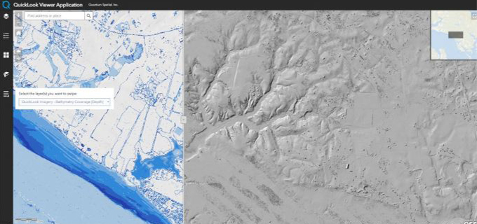
Web GIS Improves LiDAR Collection Response Time
In the latest issue of GIM International, Quantum Spatial’s Cherie Jarvis discusses the process of utilizing eGIS mapping applications in order to improve outcomes of